Johnson's New Chart of National Emblems
/vexillology/atlas/1864
About
Johnson's New Chart of National Emblems is a hand-coloured double-page chart of the flag world, issued by a New York atlas publisher during the American Civil War. It carries 118 flag drawings: 102 in nine ruled rows, two small panels flanking the title, twelve pilot signals in two boxed tables, and two long pennants winding along the foot of the sheet around the publisher's imprint.
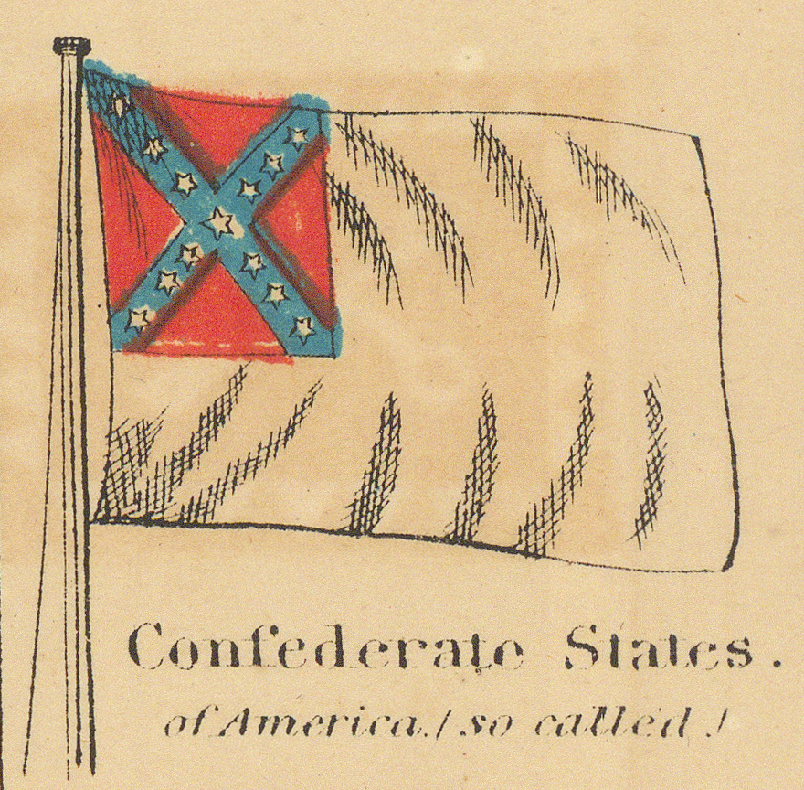
The chart is the American counterpart of the French plate Pavillons des principales puissances in this collection, and its near-exact contemporary: two publishers on opposite sides of the Atlantic cataloguing the same flag world within a year or two of each other. Their sharpest difference is editorial. The Paris plate pairs the American belligerents without comment; Johnson's caption for the Confederate flag reads Confederate States of America (so called!), the publisher's politics printed into the sheet.
This page catalogues the chart as a historical source. Printed captions are transcribed as printed; a modern identification follows each transcription in italics. The printed captions do not by themselves establish that every depicted design was official, current, or colour-accurate at the time of publication — several demonstrably were not (see Method and Next Stage).
Source Catalogue

| Printed title | Johnson's New Chart of National Emblems, lettered at the head of the sheet between the two title panels. |
|---|---|
| Printed copyright | “Entered according to Act of Congress, in the Year 1863 by A. J. Johnson, in the Clerks Office of the District Court of the United States, for the Southern District of New York.” — along the foot of the sheet. |
| Collection date | c. 1864 (assigned). The chart was entered for copyright in 1863 and issued in atlas editions of the following years (see below). |
| Associated work | Johnson's atlas series (Johnson's New Illustrated Family Atlas); the sheet is a double-page plate carrying the page numerals 4 and 5 in its upper corners. |
| Publisher | Johnson & Ward, New York — “Published by Johnson & Ward.” on an engraved ribbon at the foot. |
| Creator of plate | Not stated; A. J. Johnson holds the copyright. |
| Language | English |
| Format | Engraved double-page chart, hand-coloured, within an ornamental knotwork border set with star medallions. Flags are drawn flying from staffs in ruled rows, captions beneath each flag. |
| Physical extent | One double-page plate; approximately 63 × 46 cm, inferred from the 600 dpi scan. Dimensions of the physical sheet not yet measured directly. |
| Provenance | Not yet recorded |
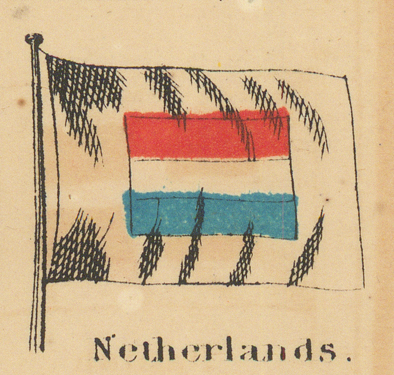
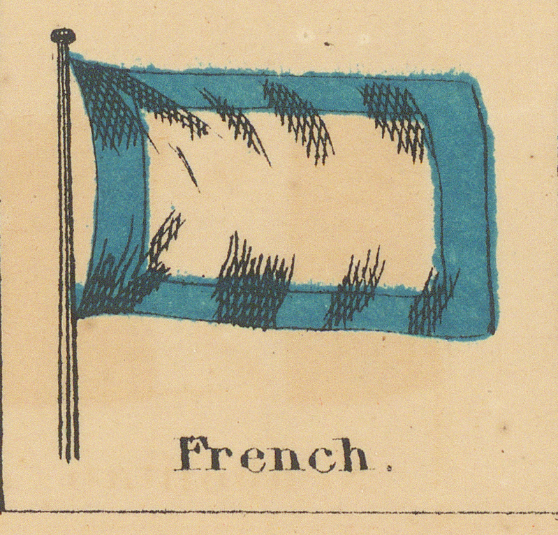
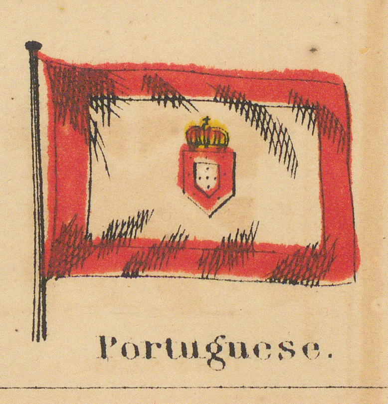
| Contents | 118 flag drawings: two small panels flanking the title (Hawaiian Islands, Weimar); nine rows of flag panels (102 drawings, including the four large corner standards of the United States, the United Kingdom, Russia, and France); two boxed tables of six pilot signals each, headed “Signals for Pilots.”; and two long pennants (Portuguese, Spanish) at the foot. |
| Digital surrogate | Complete sheet: JPEG, 14882 × 10963 pixels at 600 dpi, with a reduced 1024 × 754 JPEG for display. Extracted panels: PNG (118), cropped from the 600 dpi scan. |
| Catalogue status | Preliminary. Edition identification, provenance, and individual flag analysis remain subject to revision. |
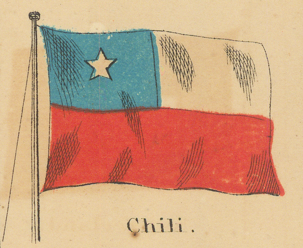
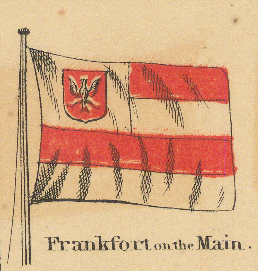
Editorial convention: Printed captions are retained because they are evidence of the source's terminology — Hayti, Dominica, Equador, Chili, New Grenada, Konigsberg, Lubeck, Birmah, Frankfort on the Main, and Russian American Compy. are kept as printed. Modern identification and analysis are supplied separately, without silently replacing the printed labels.
Internal Dating Evidence
The chart dates itself unusually well. The printed copyright line names the year 1863, and the imprint names Johnson & Ward, the partnership that published Johnson's atlases in the early-to-mid 1860s. The internal evidence agrees precisely:
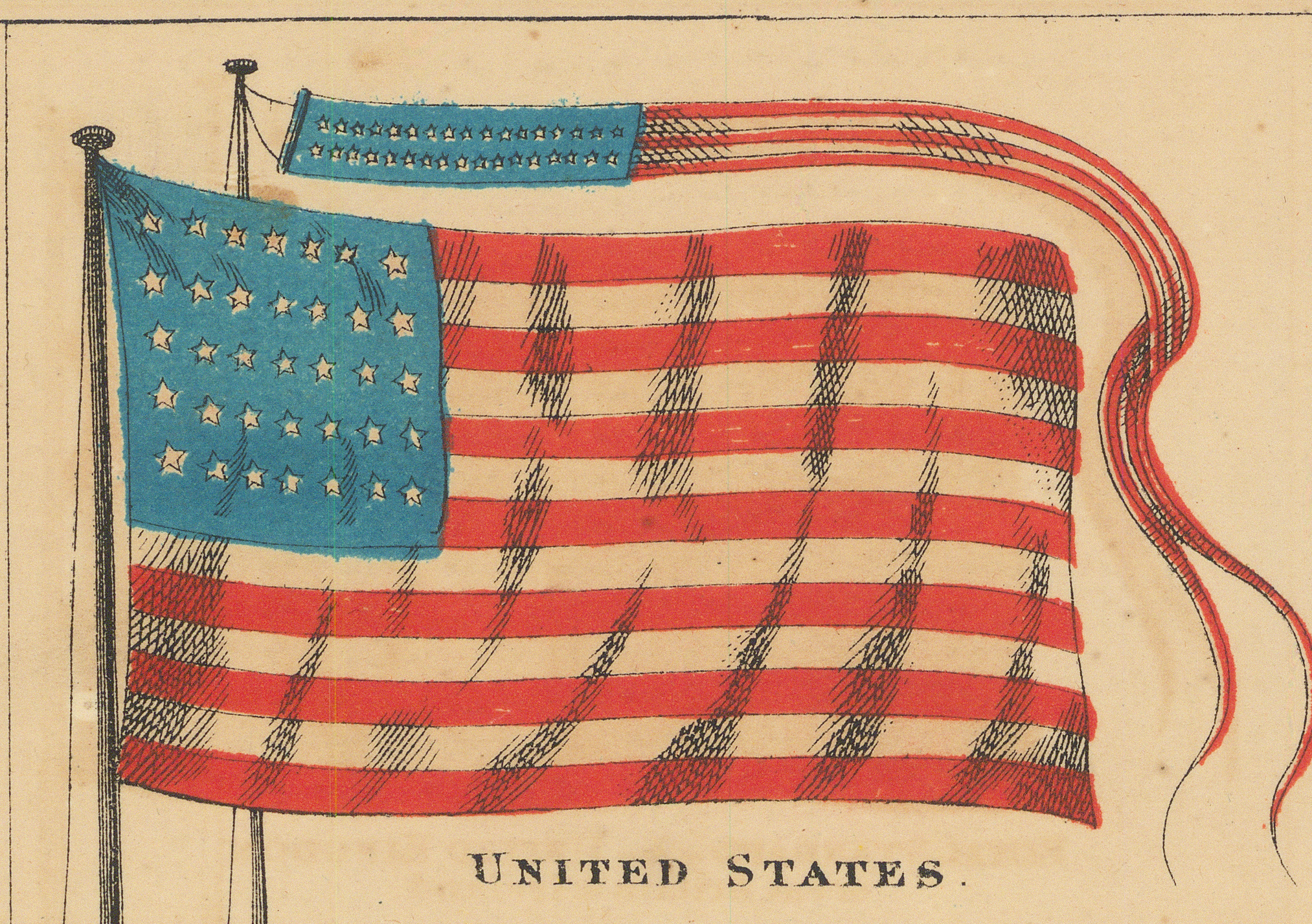
The canton of the United States standard carries 35 stars, drawn in five loose rows of seven. The 35-star flag became official on 4 July 1863, after the admission of West Virginia, and was superseded by the 36-star flag in July 1865. The Confederate States panel shows the second national pattern — the white “Stainless Banner” with the battle-flag canton — adopted 1 May 1863. Both point to a chart drawn in the second half of 1863 at the earliest.
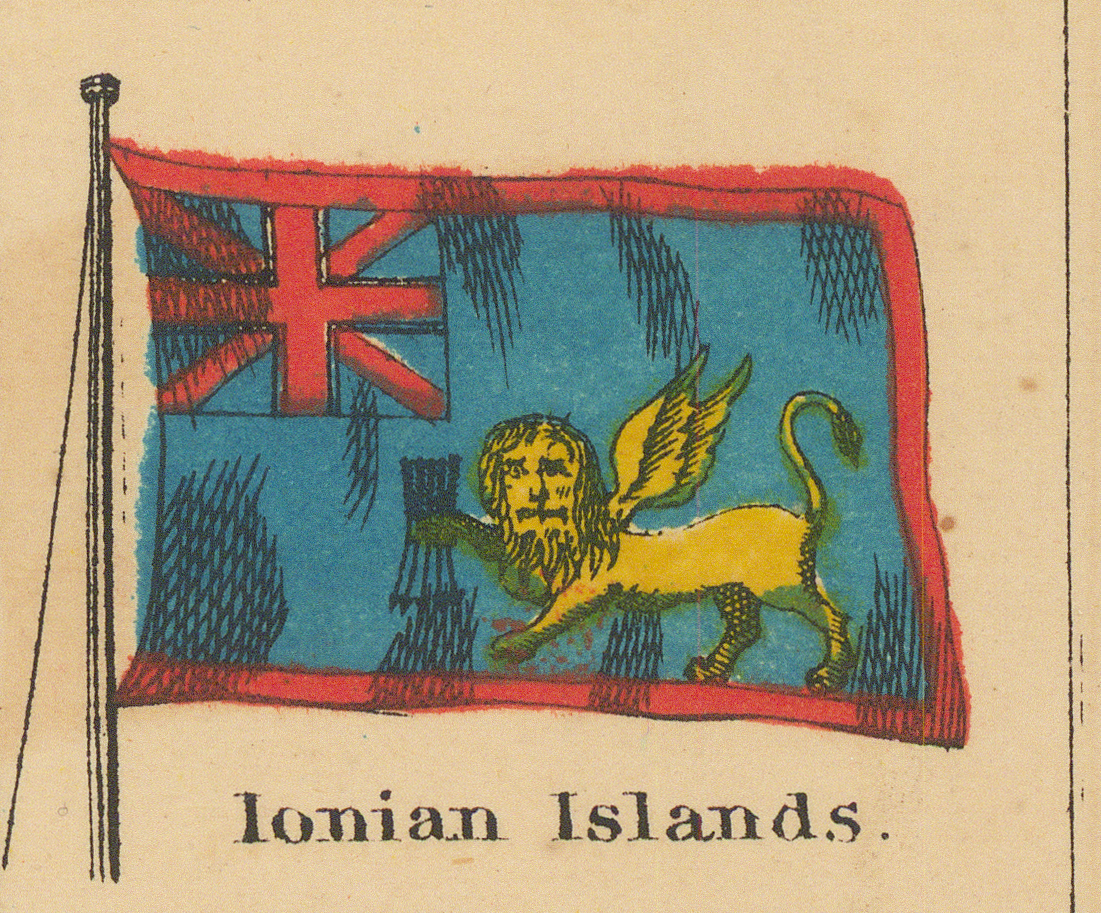
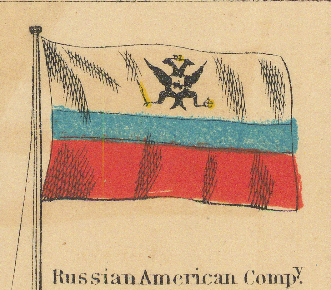
The rest of the sheet fits the same moment. The Ionian Islands are still a British protectorate, ceded to Greece only in 1864. New Grenada keeps the name that was giving way to the United States of Colombia in 1863. The Russian American Compy. still governed Alaska, sold in 1867. Hanover and Frankfort on the Main remained sovereign until 1866, and the French Standard is the imperial standard of Napoleon III. A chart copyrighted in 1863 and issued in the atlas editions that followed sits squarely inside that bracket, which is the collection-assigned date of c. 1864.
Currency is uneven here as on every chart in this collection: several panels reproduce designs long obsolete in 1863 (see Method and Next Stage). They date the publisher's models, not the sheet.
Index of Flag Panels
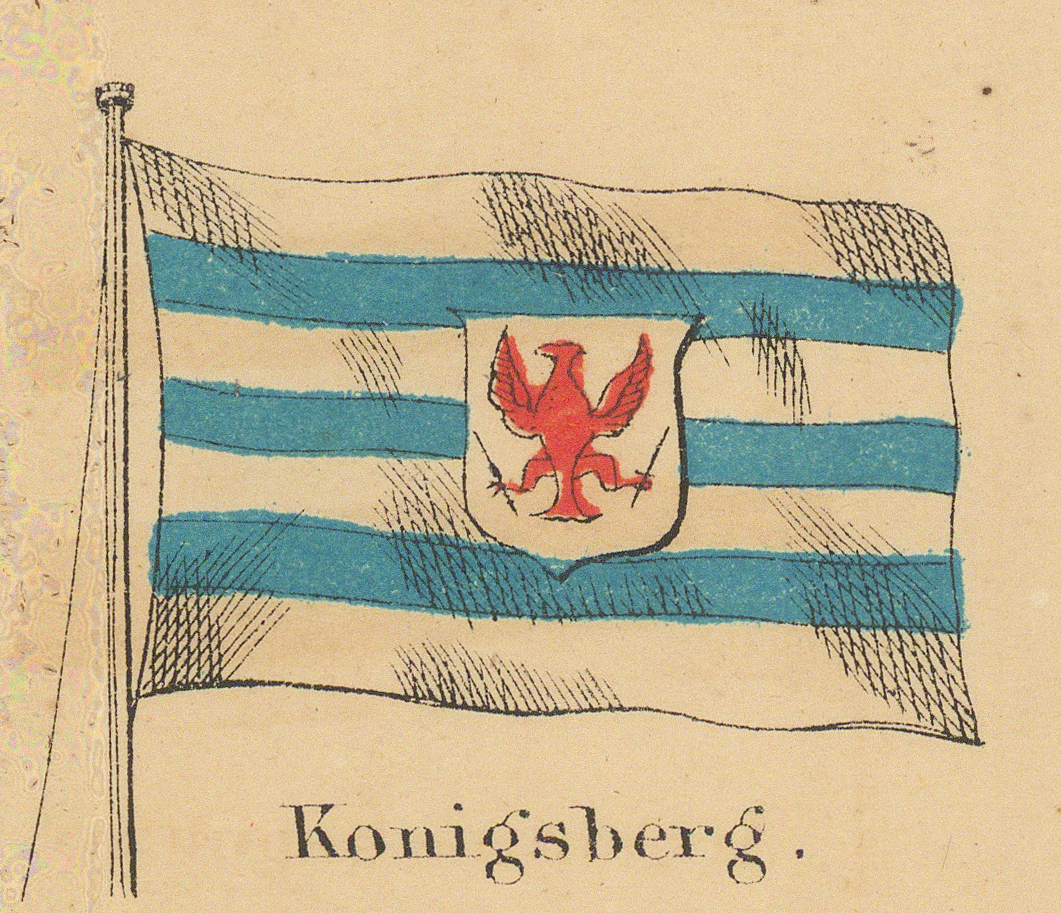
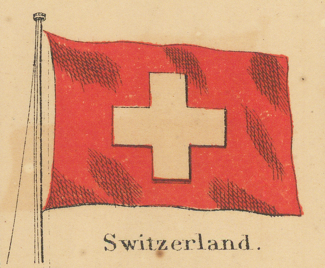
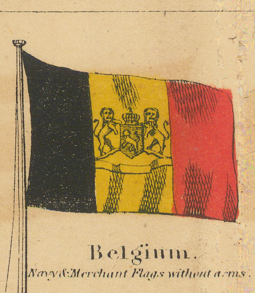
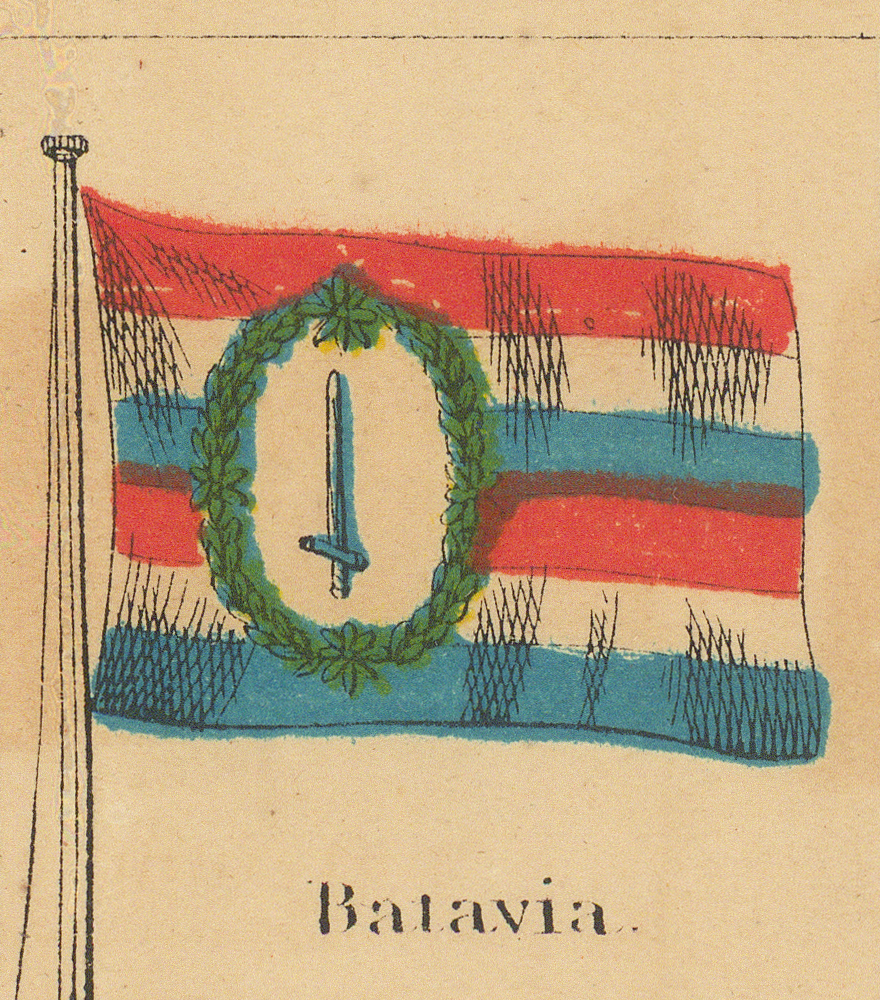
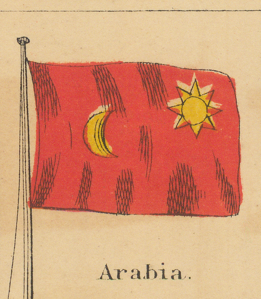
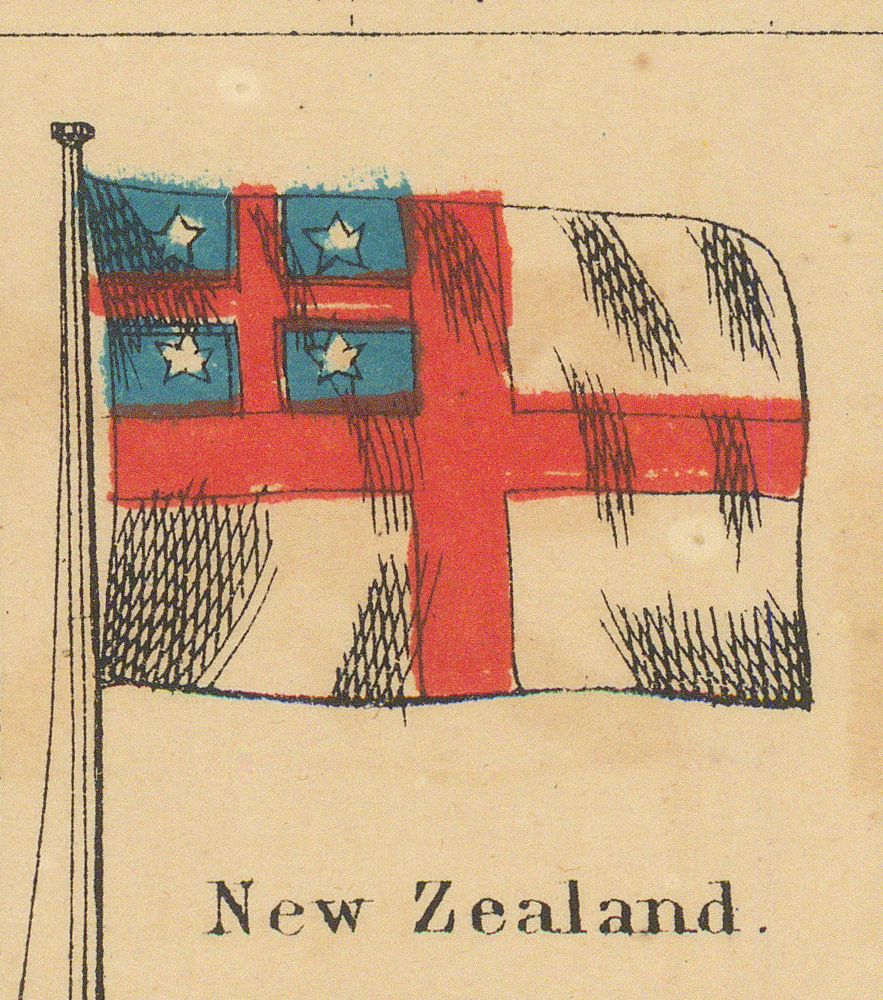
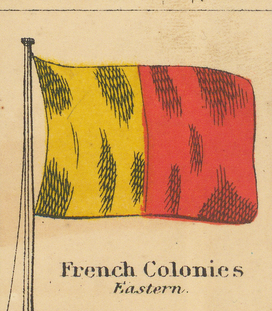
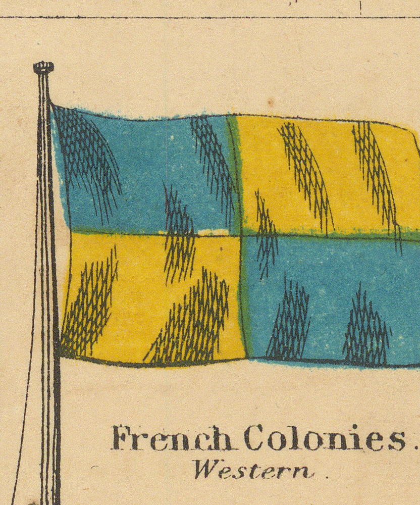
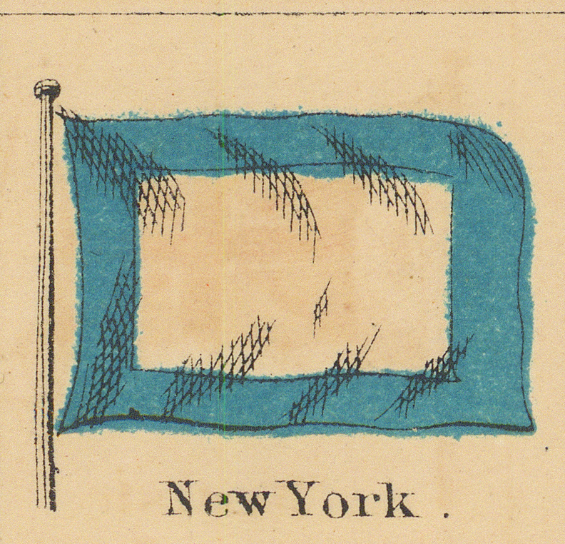
The chart contains 118 flag drawings, indexed here in the order of the sheet: the two panels flanking the title, then the nine rows read left to right (large corner standards in their positions), then the two boxed tables of pilot signals, then the two pennants at the foot. Where the source prints a second caption line, it is given beneath the printed name. Select any image to open the full-resolution extraction from the 600 dpi scan.
Head of the Sheet
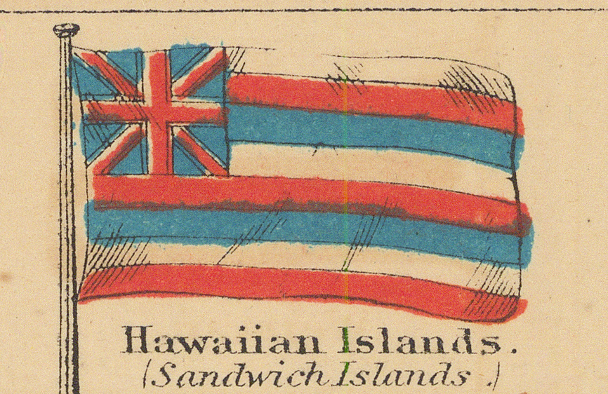
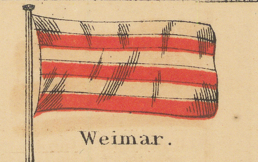
Two small panels flank the title lettering.
First Row — the United States and Great Britain
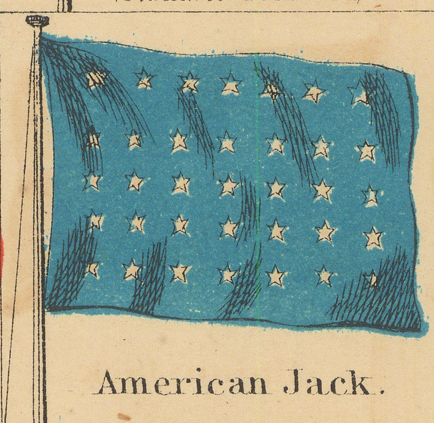
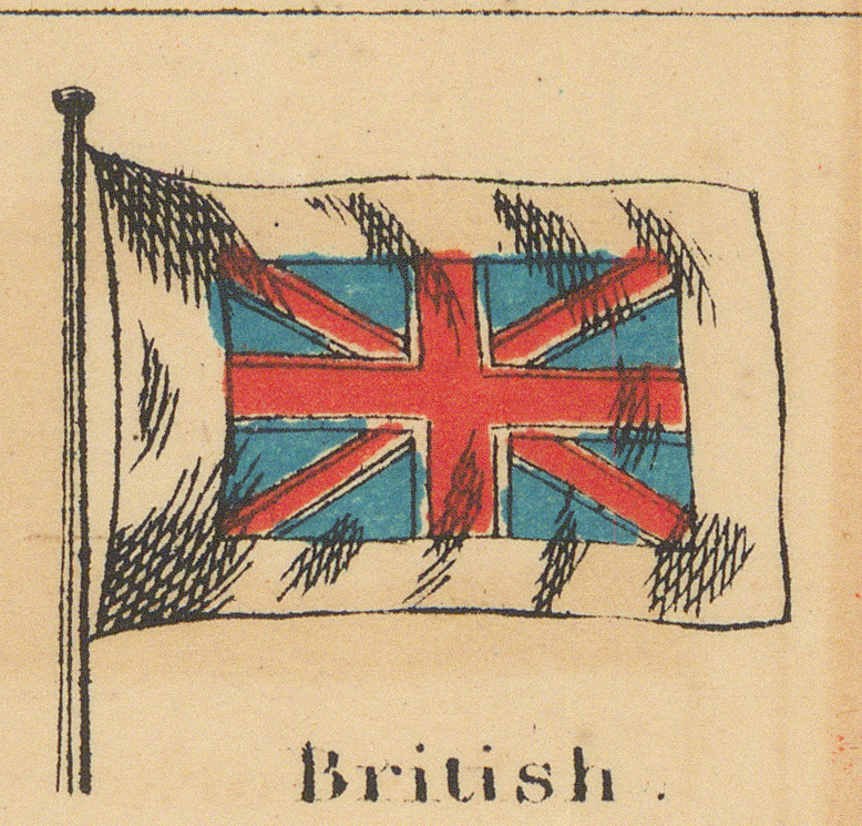
The two large corner panels — the United States standard with its 35-star canton and the British royal standard — bracket a row of American and British flags.
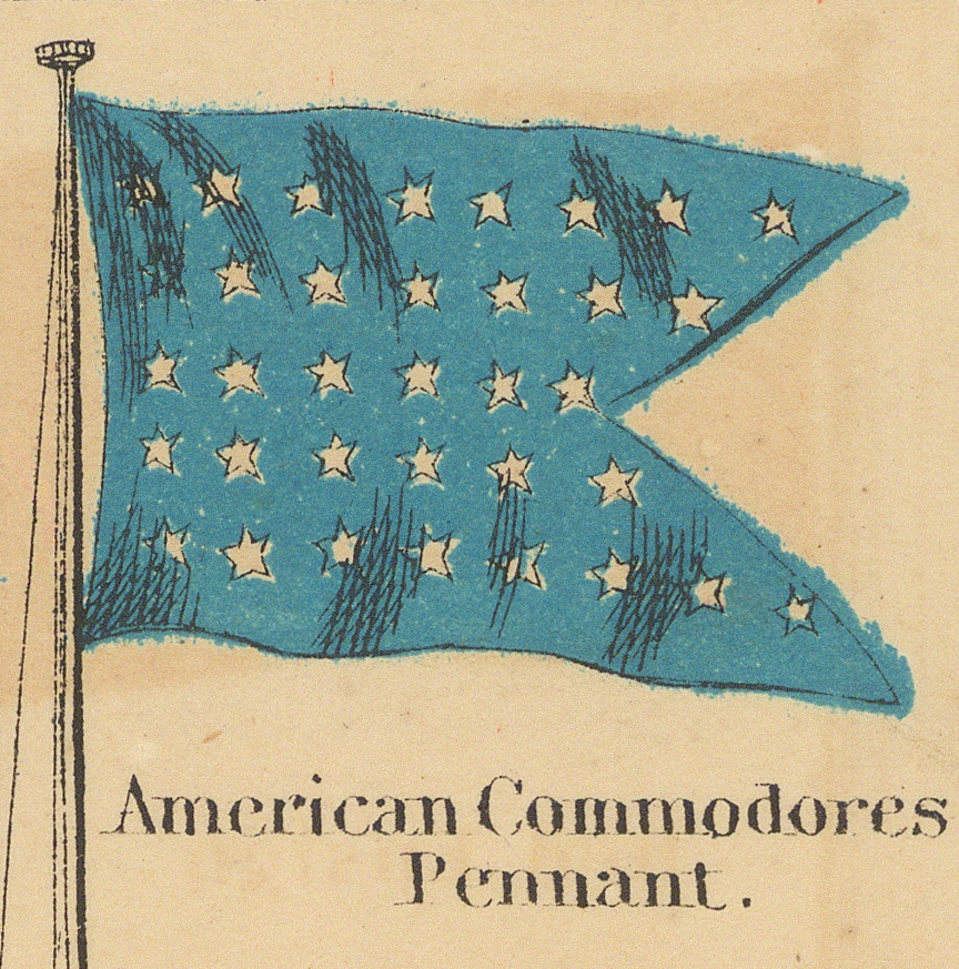
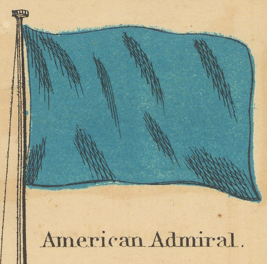
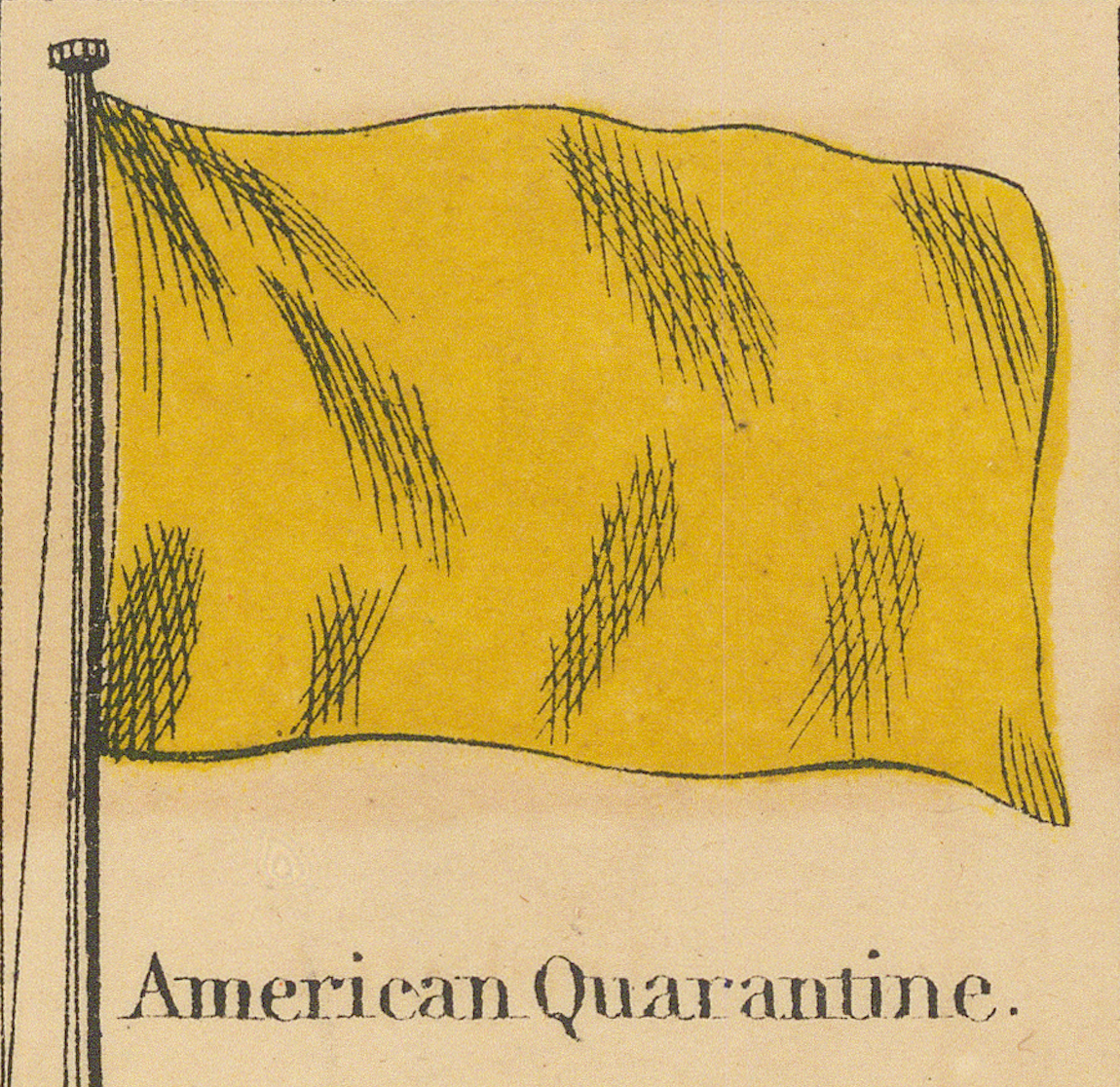
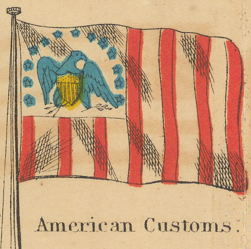
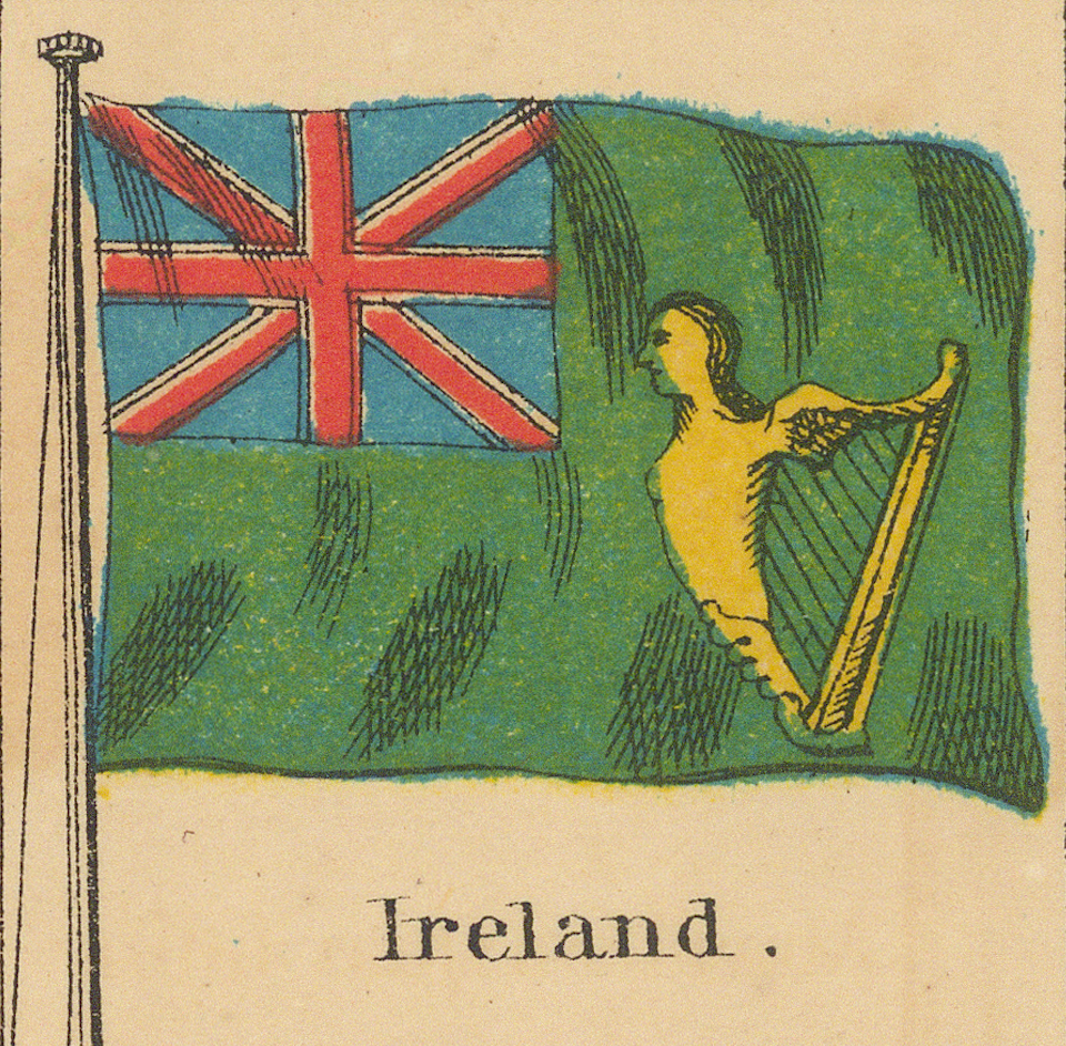
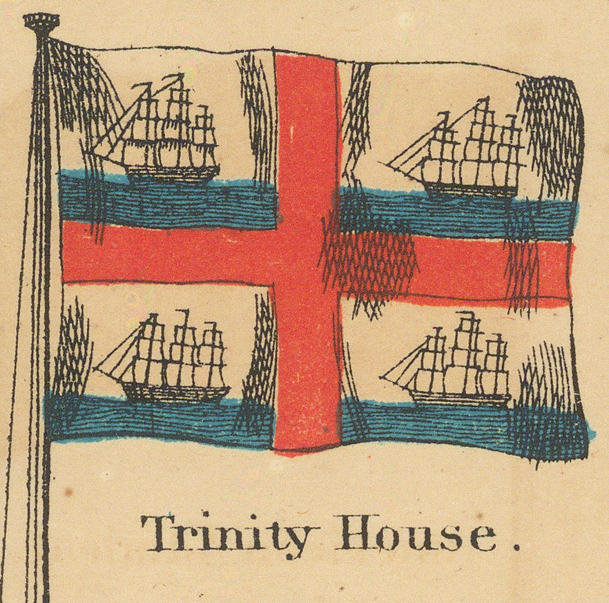
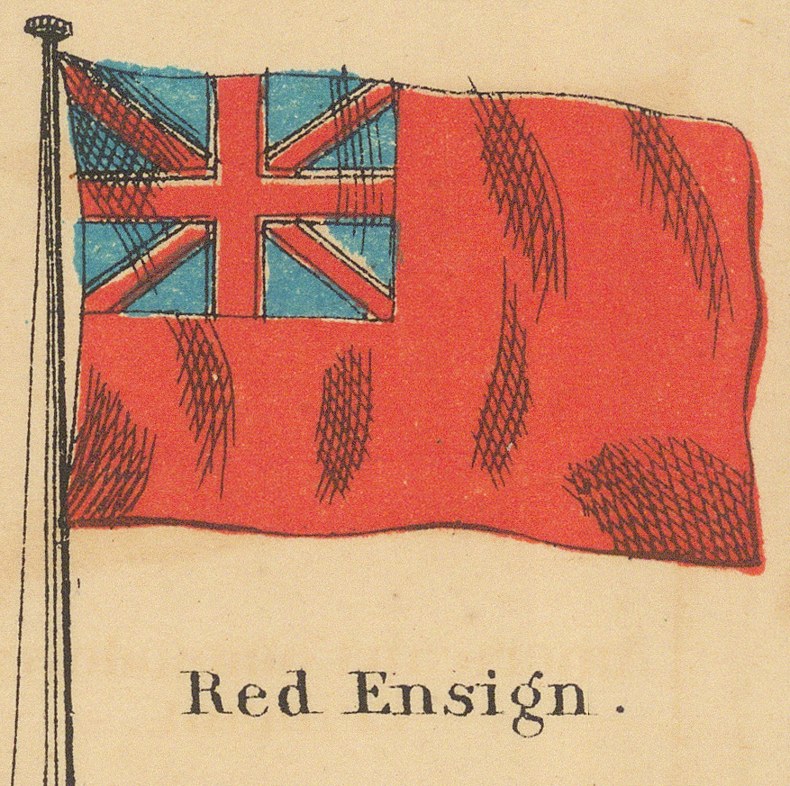
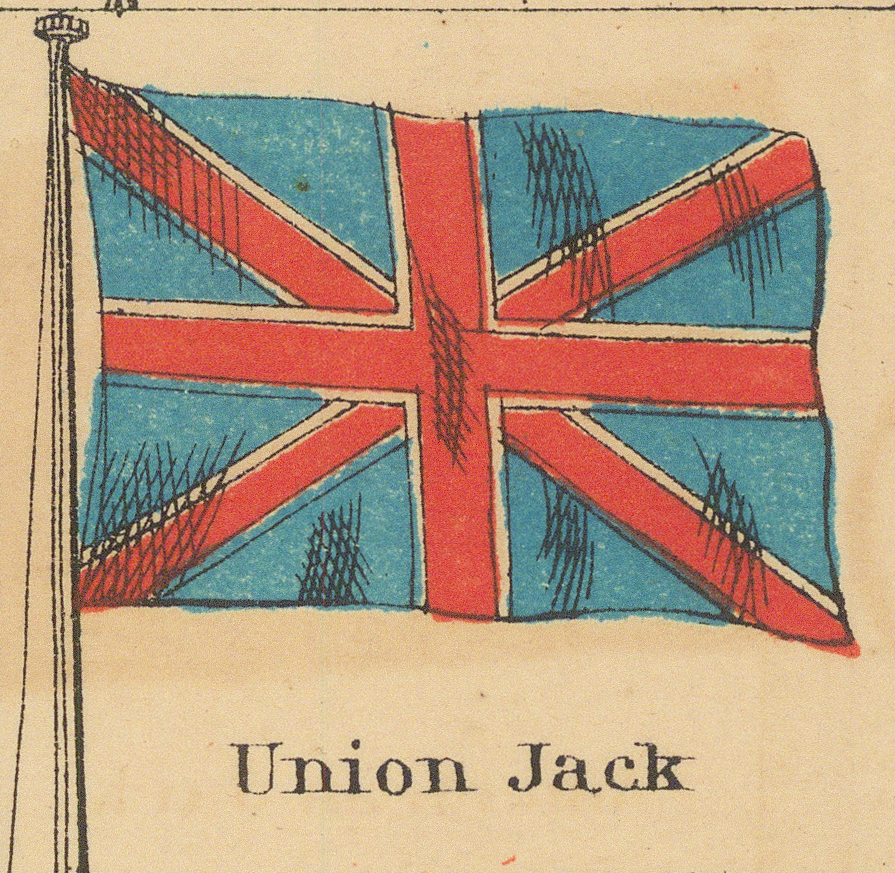
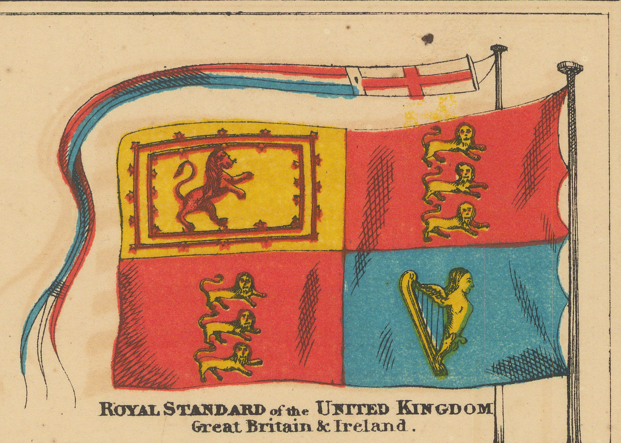
Second Row
Mexico and the Caribbean, then a run of smaller European states.
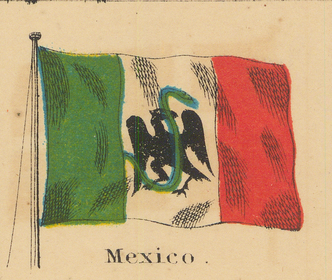
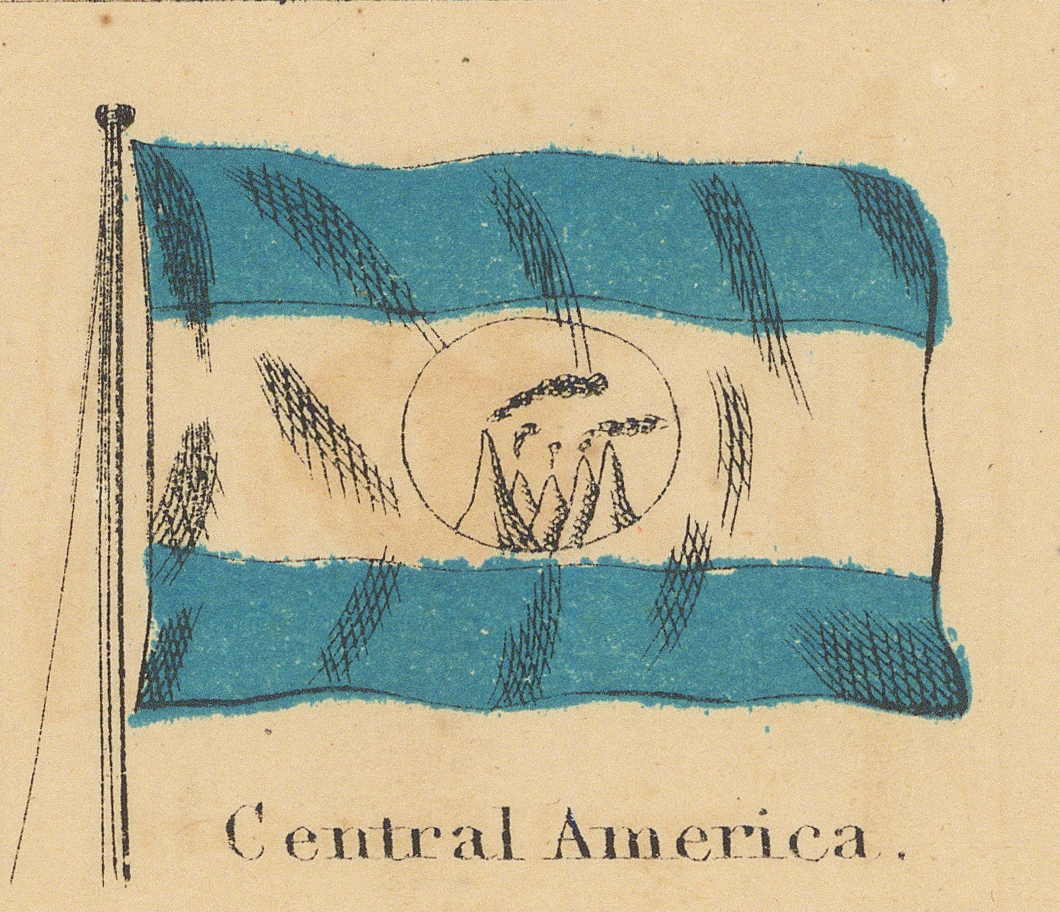
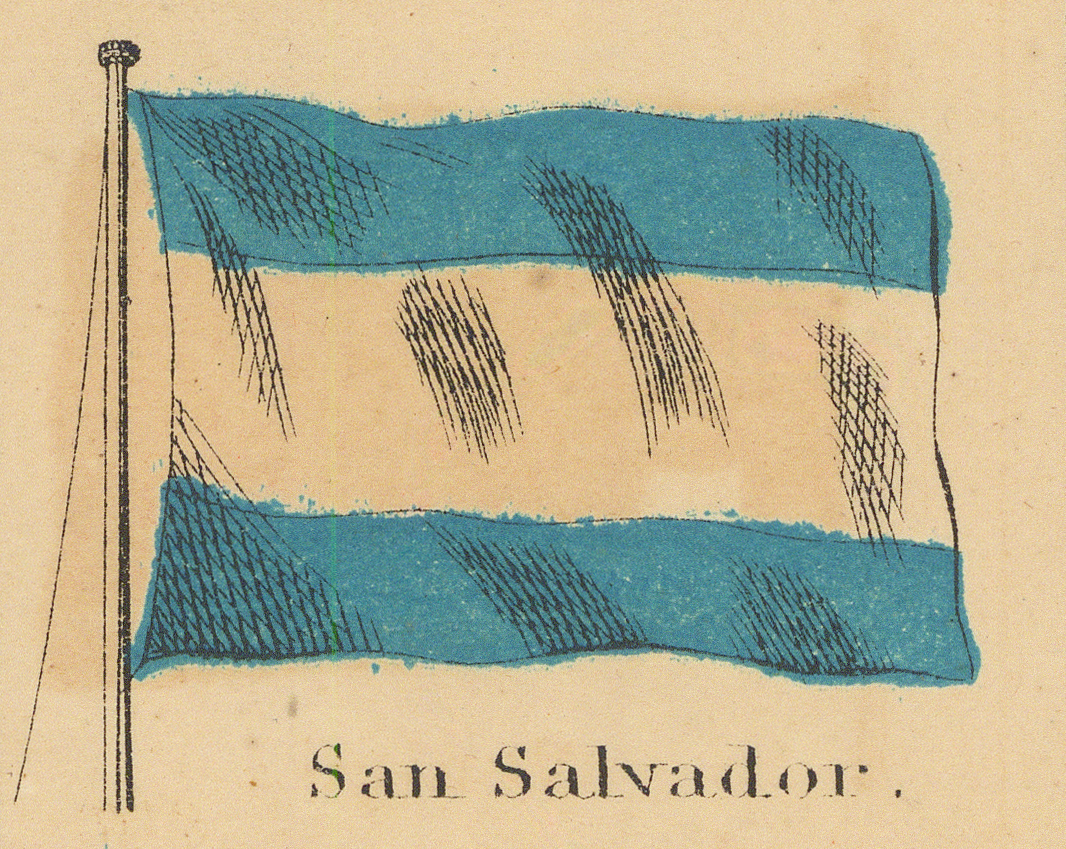
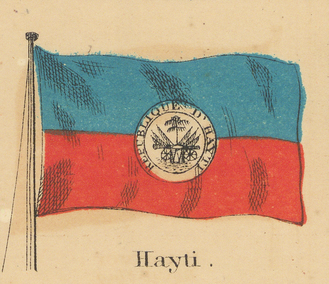
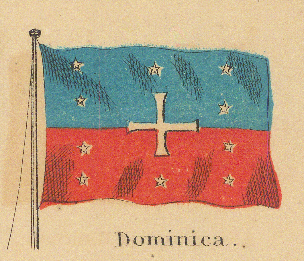
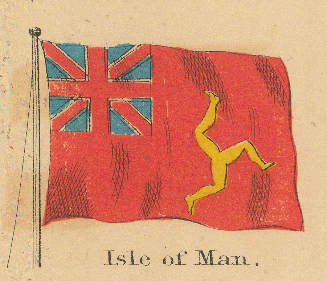
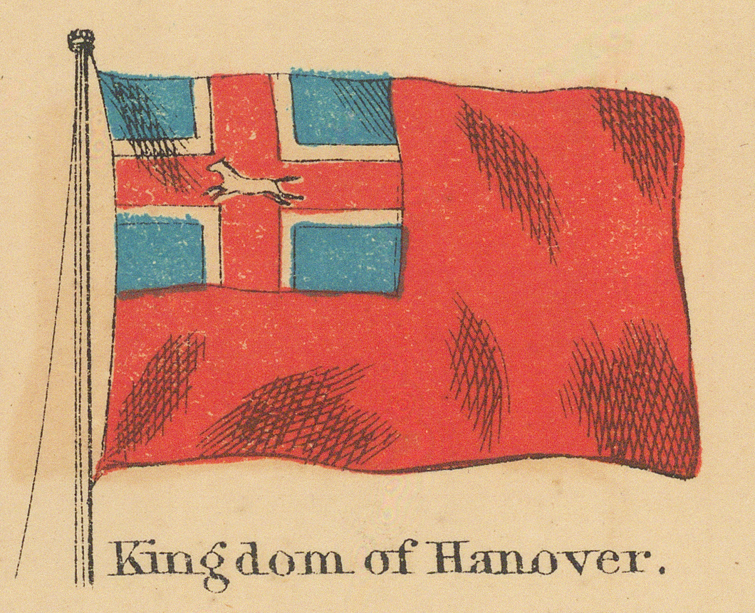
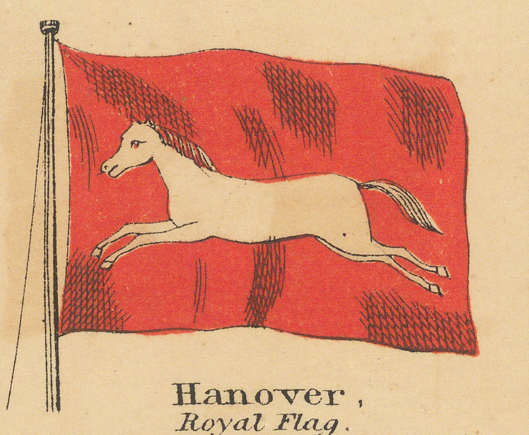
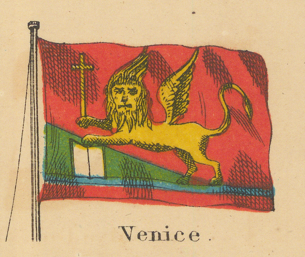
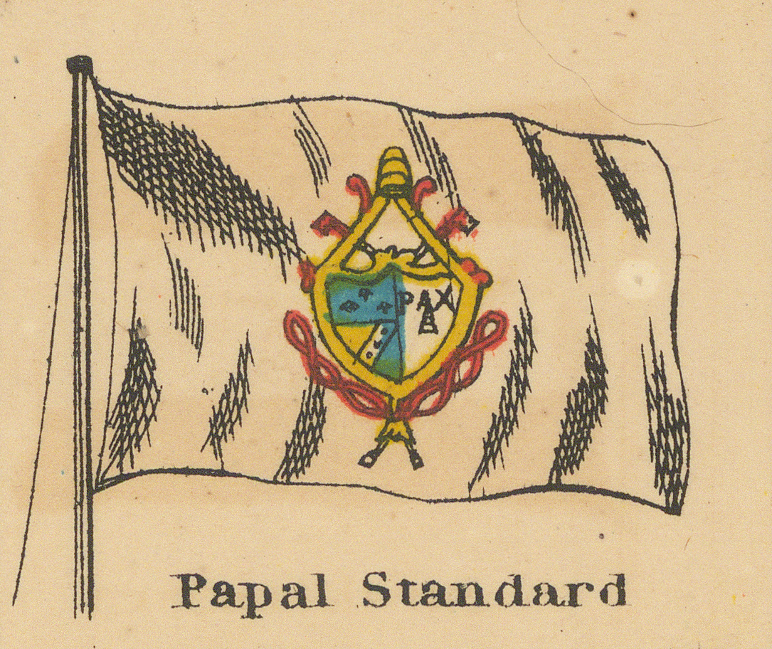
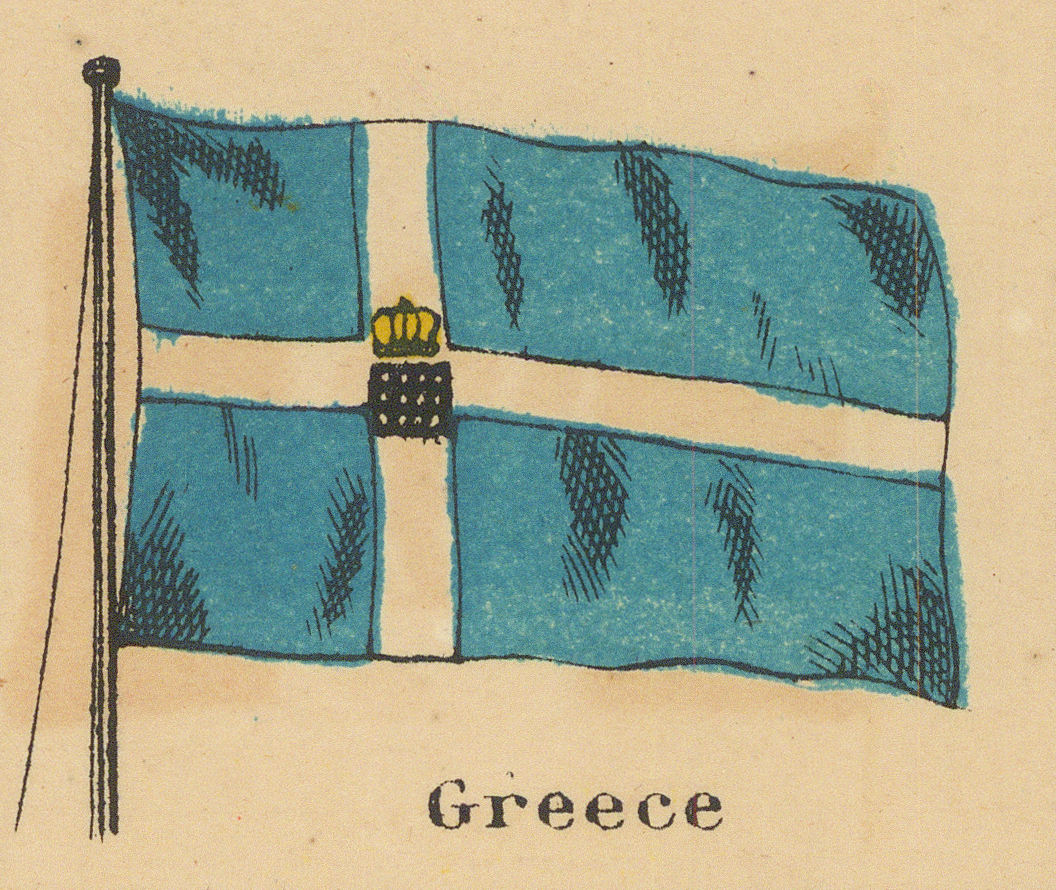
Third Row
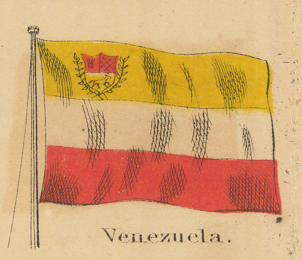
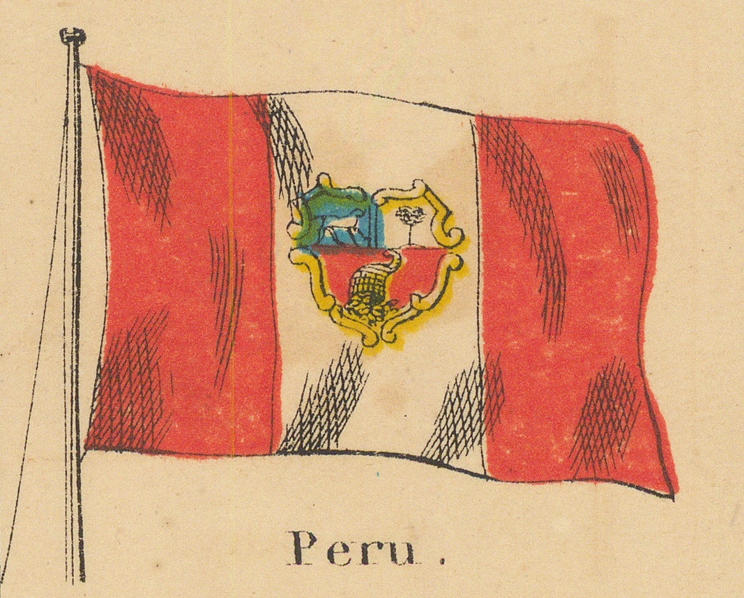
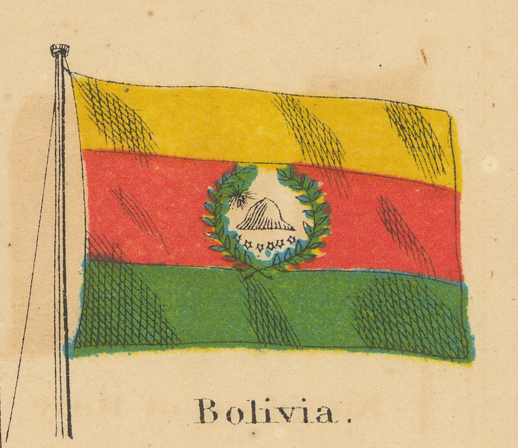
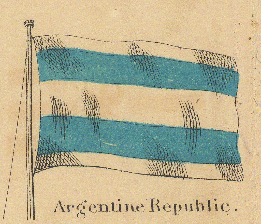
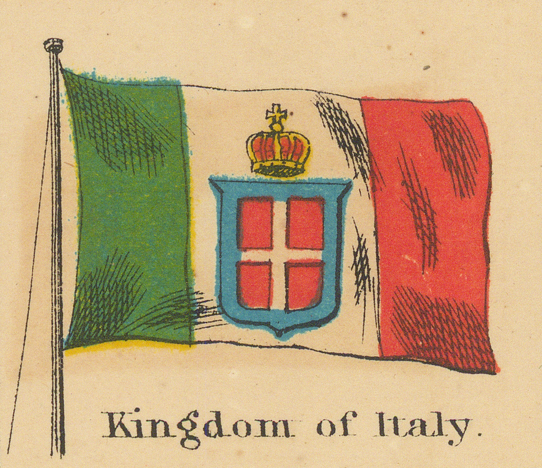
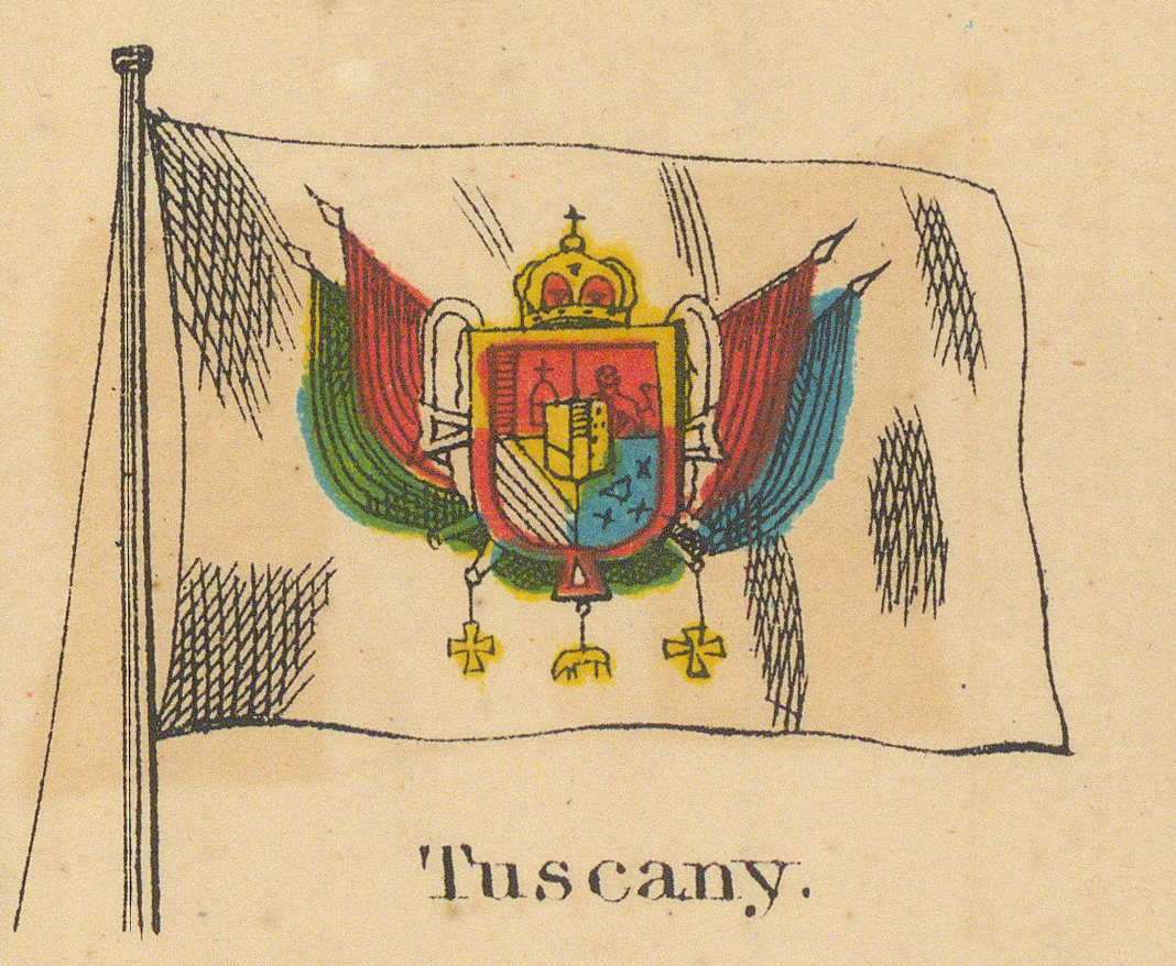
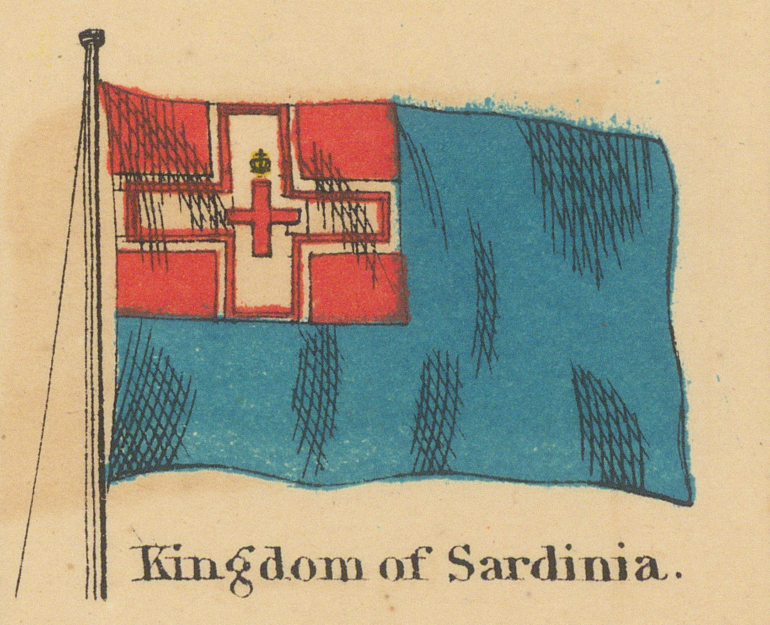
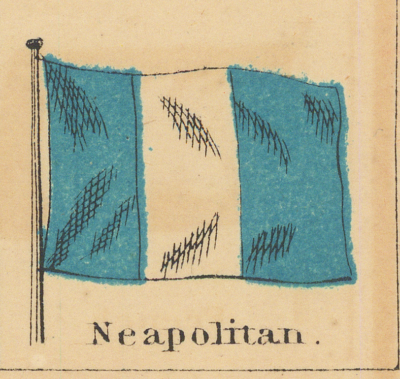
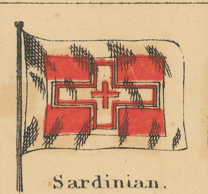
South America, then the Italian question in three panels — the new Kingdom of Italy printed alongside Tuscany and Sardinia, two of the states it had already absorbed — and the Ionian Islands to close the row.
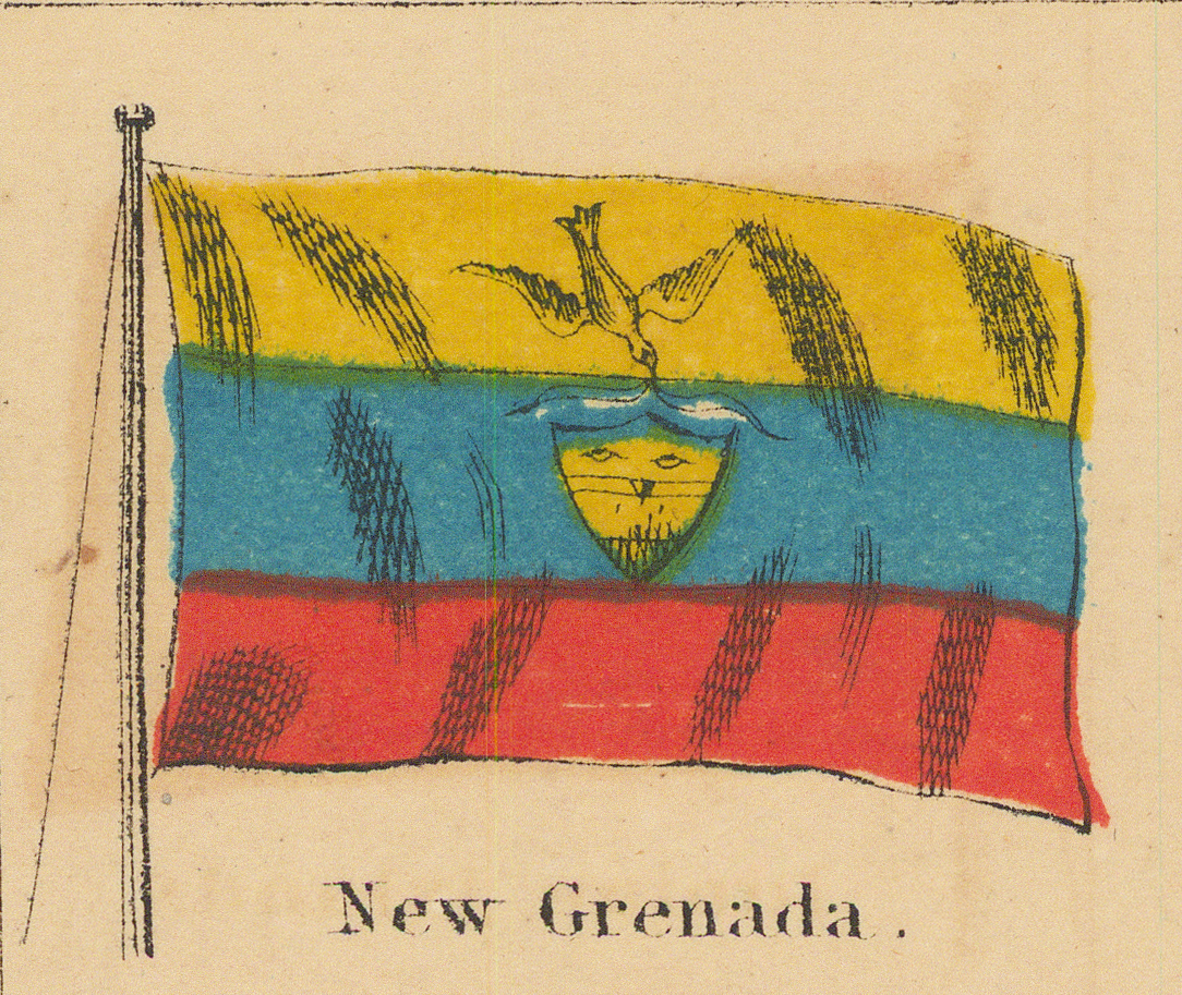
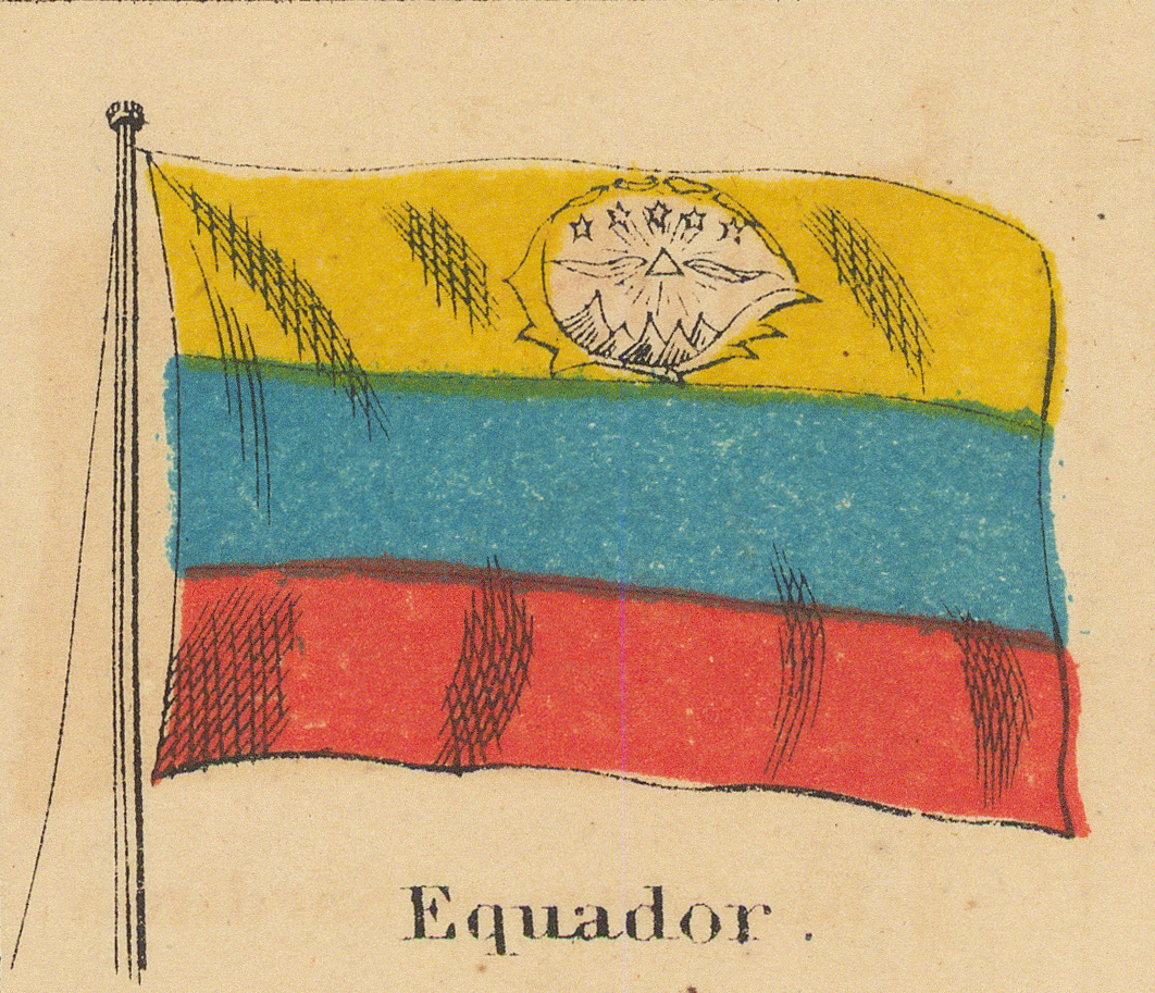
Fourth Row
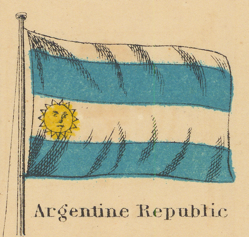
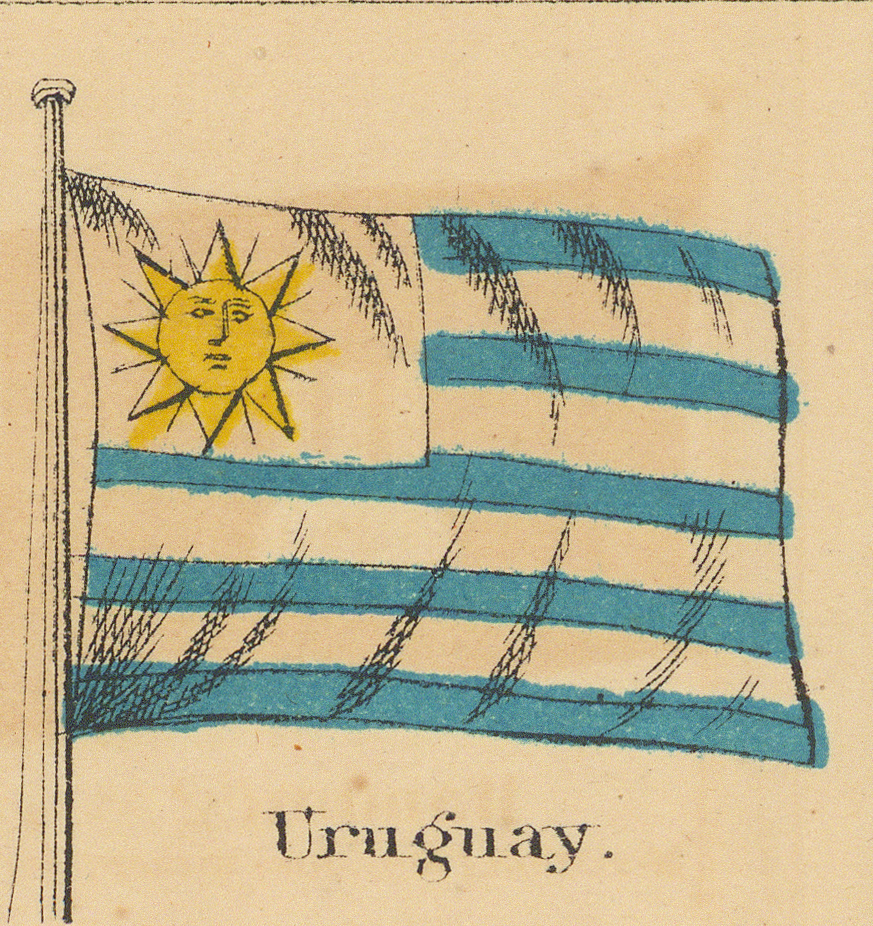
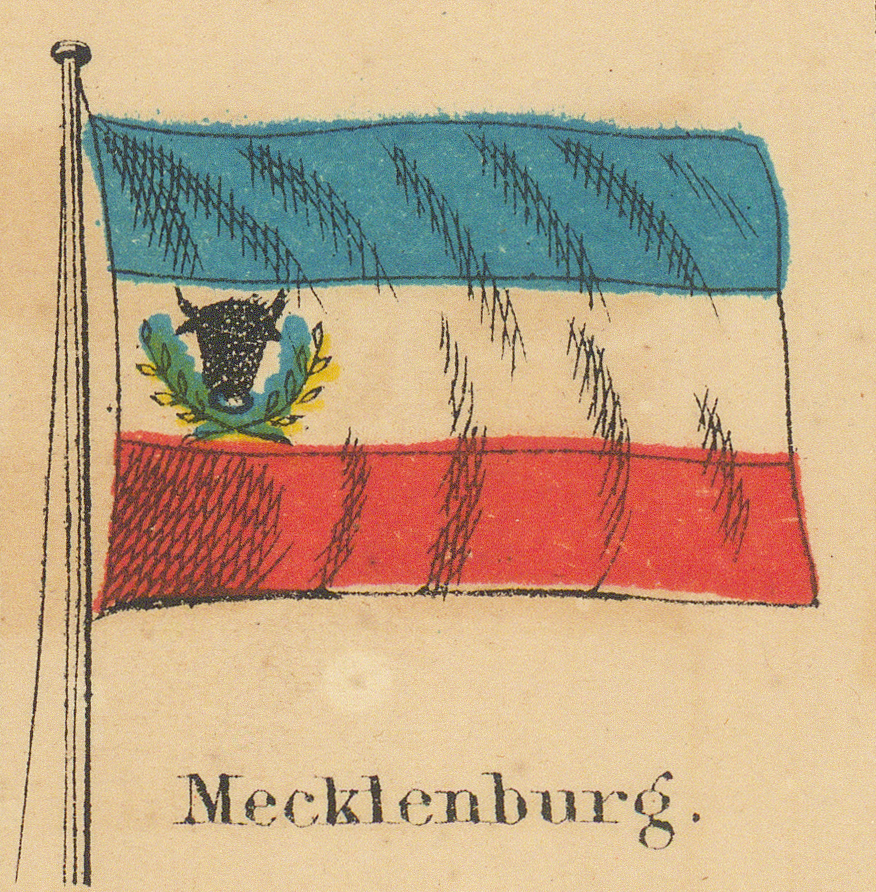
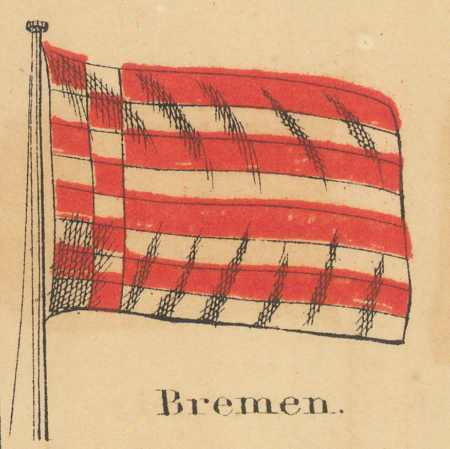
From here to the sixth row the panels run between the two boxed tables of pilot signals. South America concludes; the German and Italian trading cities begin.
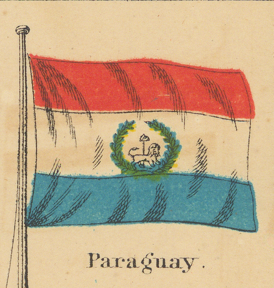
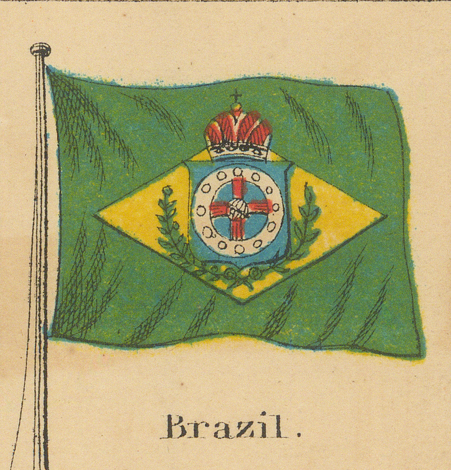
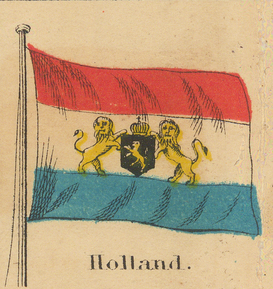
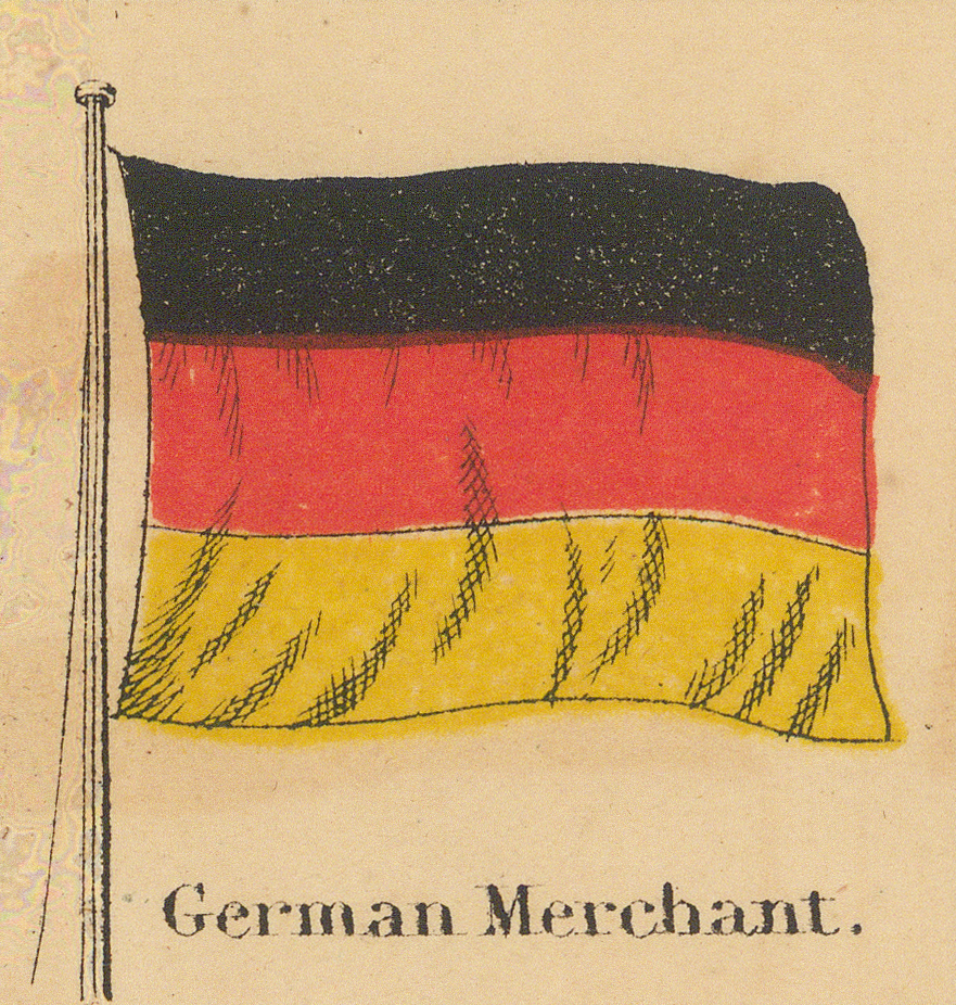
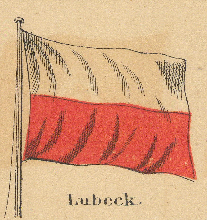
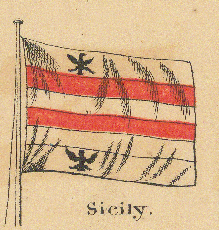
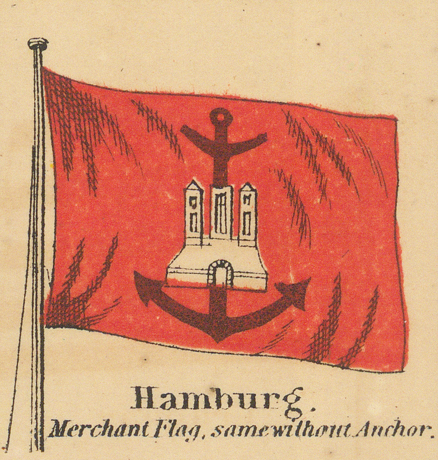
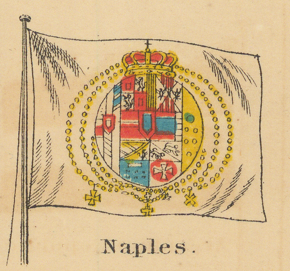
Fifth Row
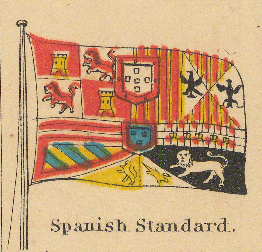
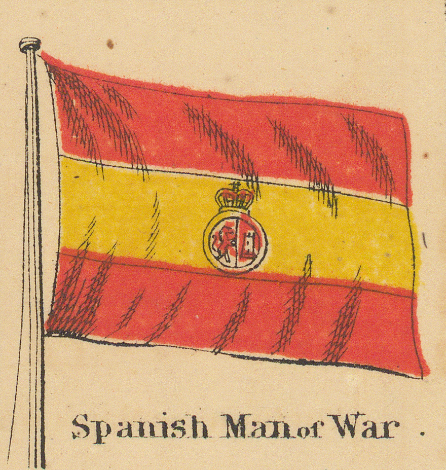
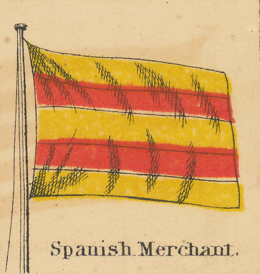
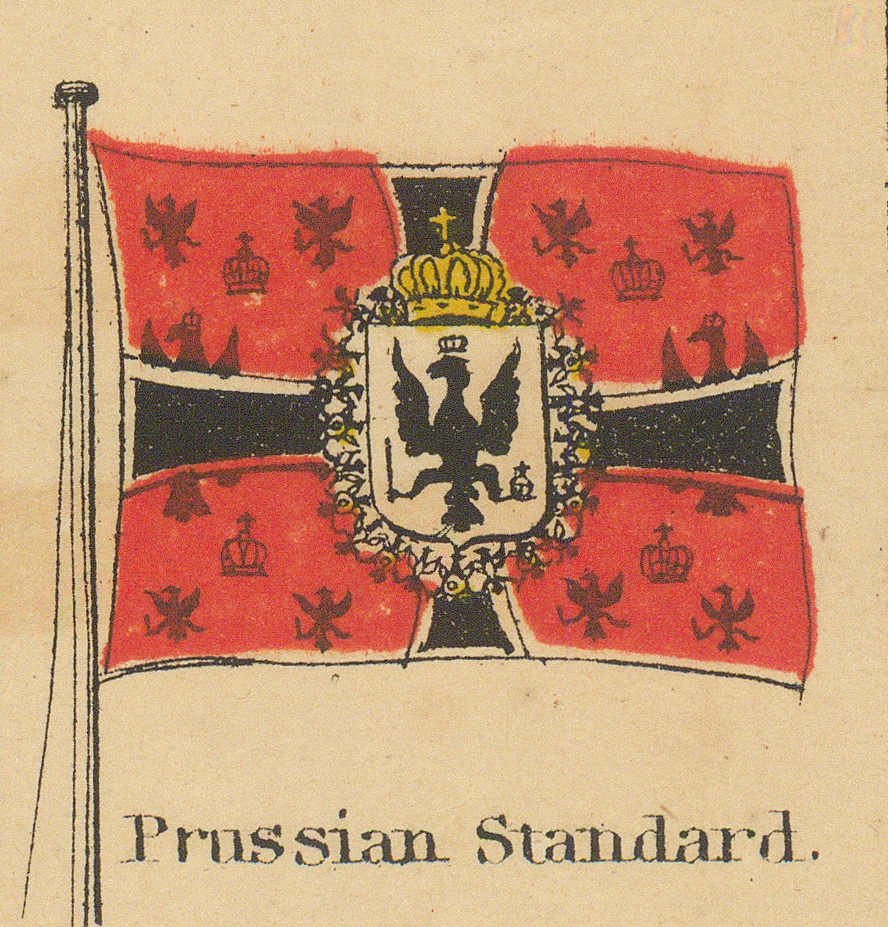
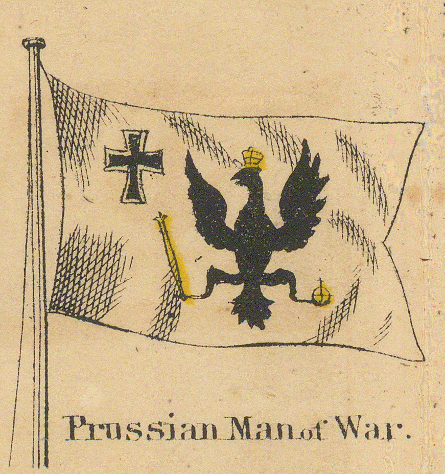
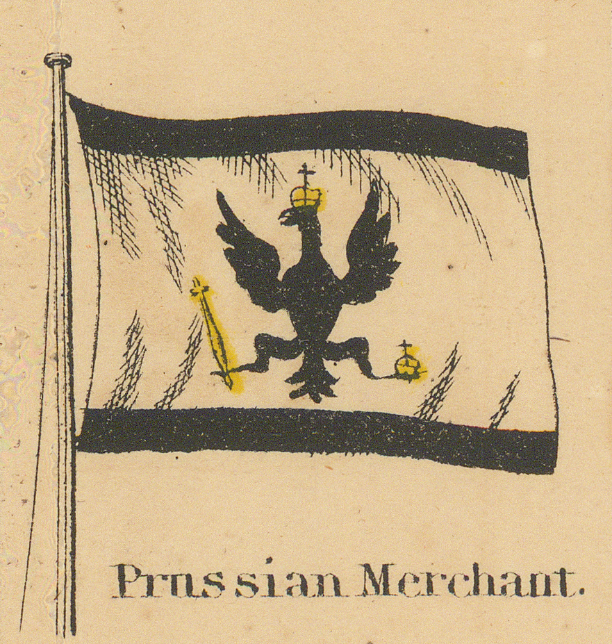
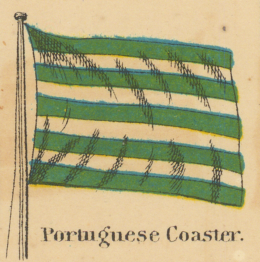
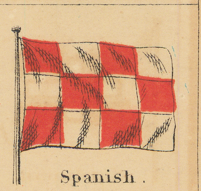
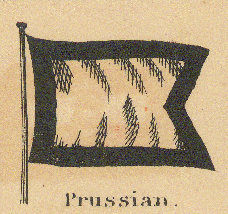
Spain, Prussia, and Portugal, each in three grades.
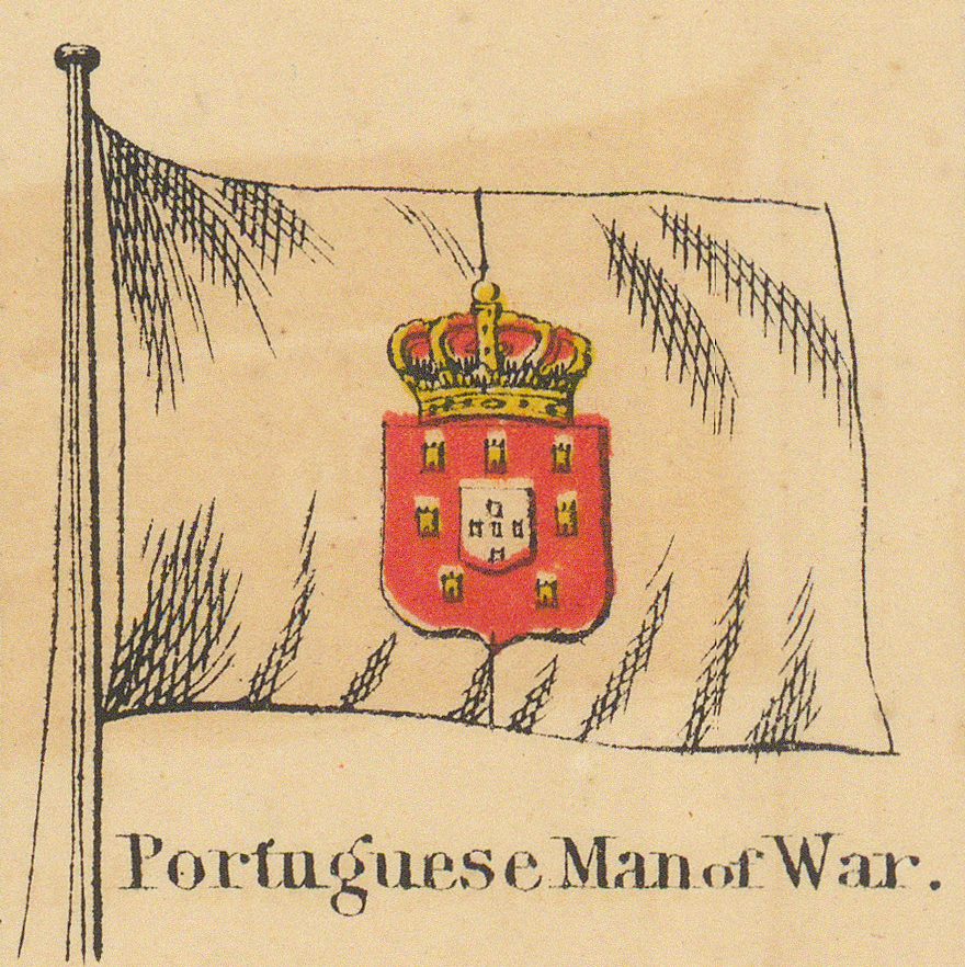
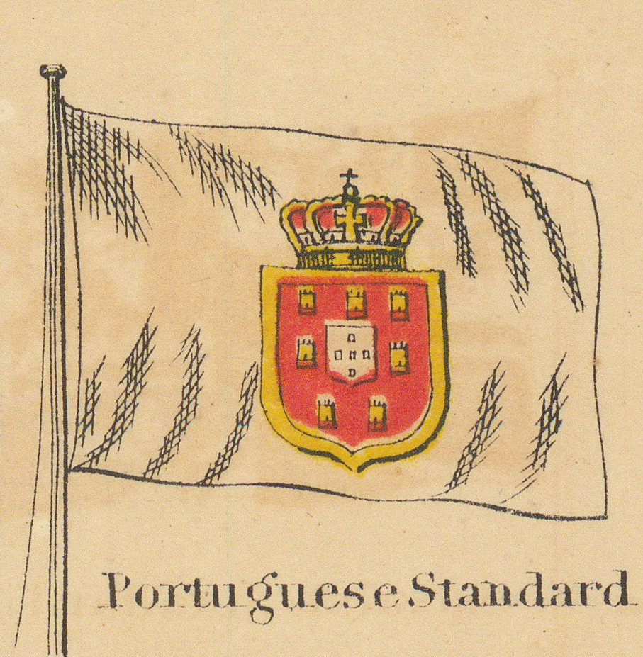
Sixth Row
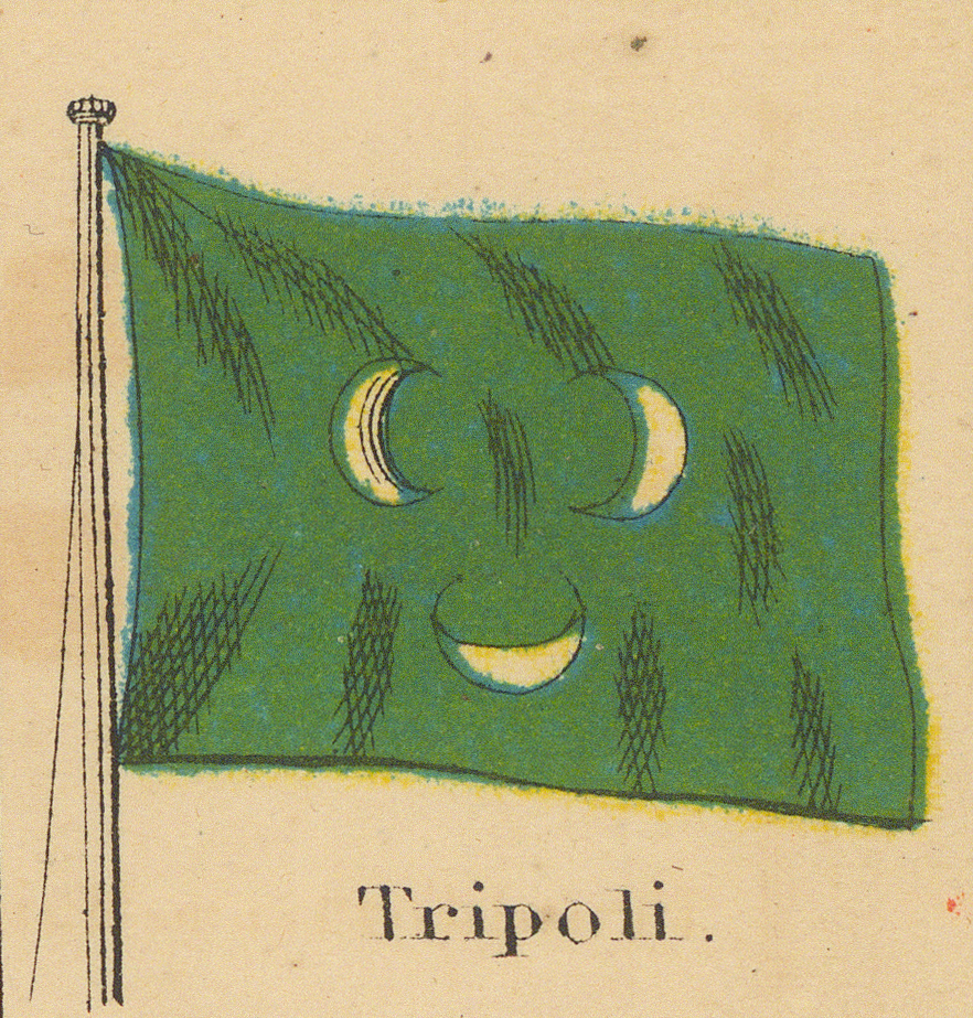
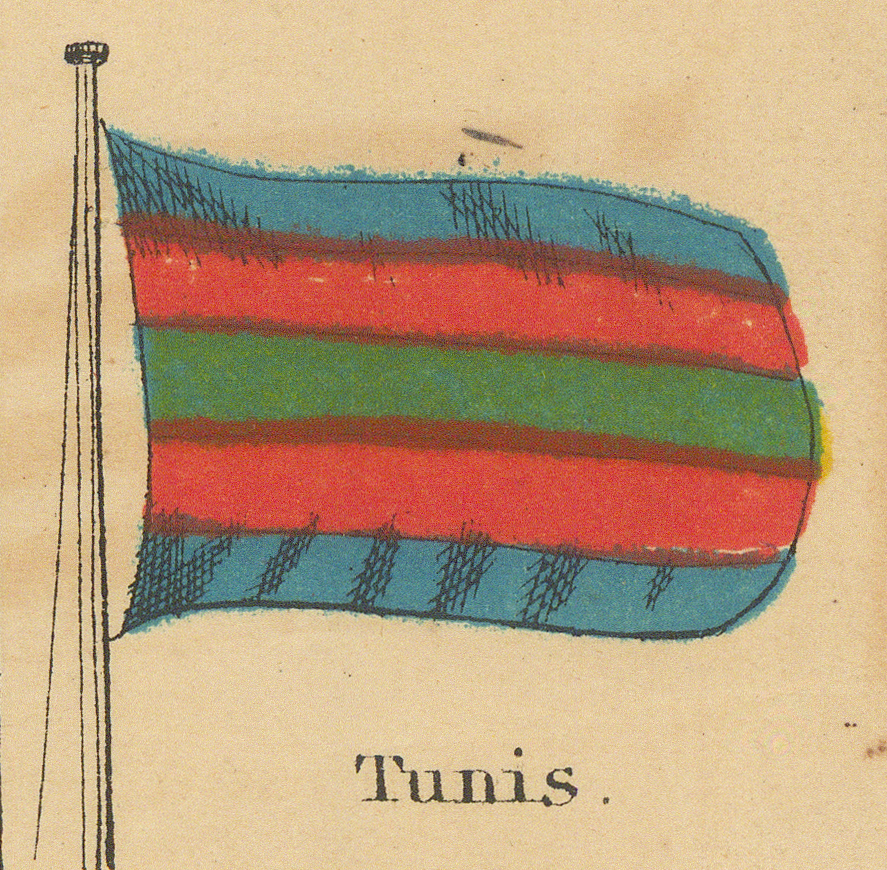
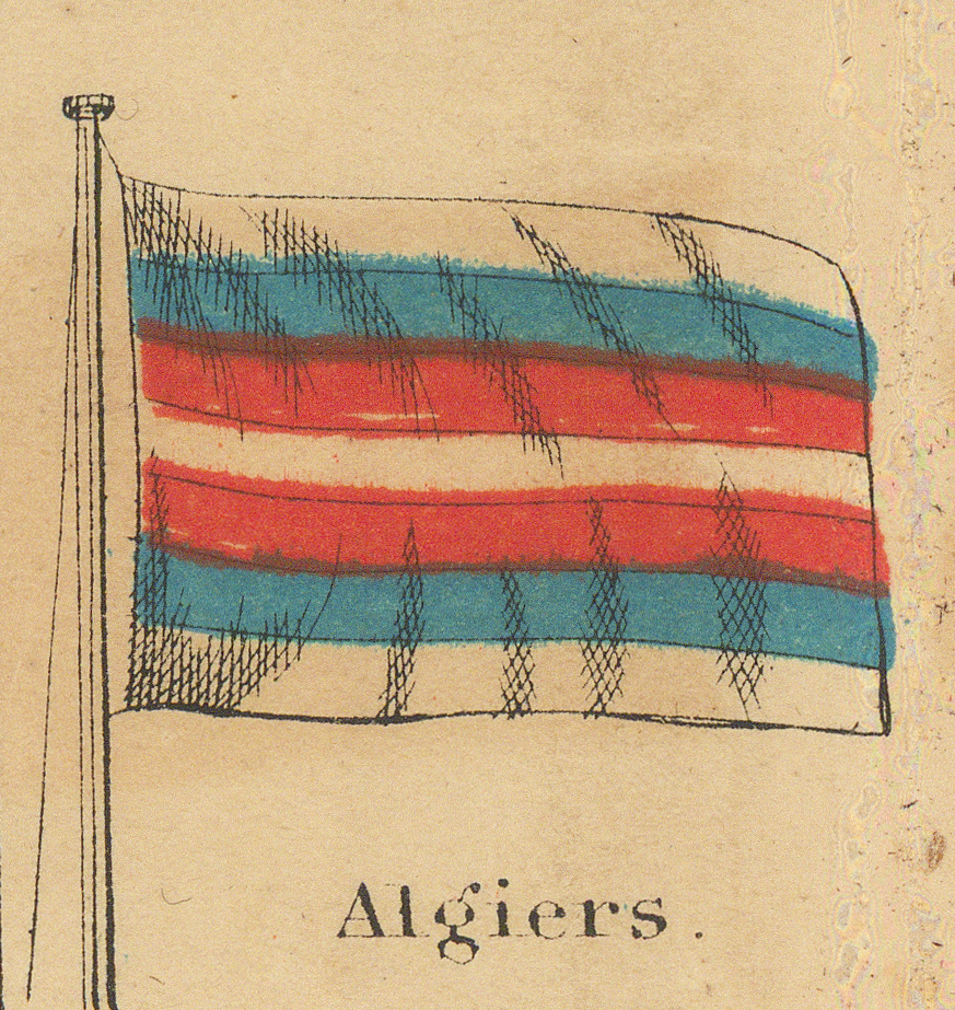
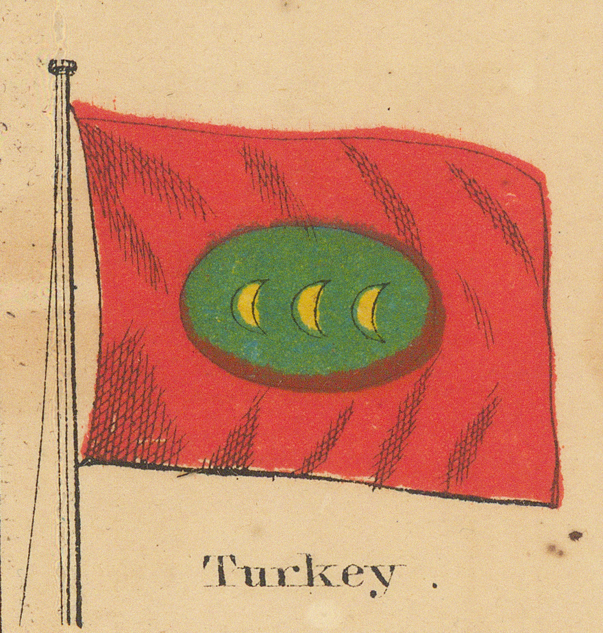
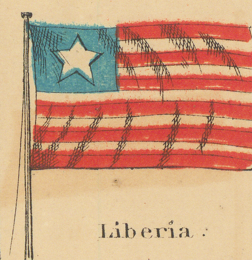
The Barbary coast and the Ottoman world, the remaining free cities — and the Confederate panel with the publisher's editorial parenthesis.
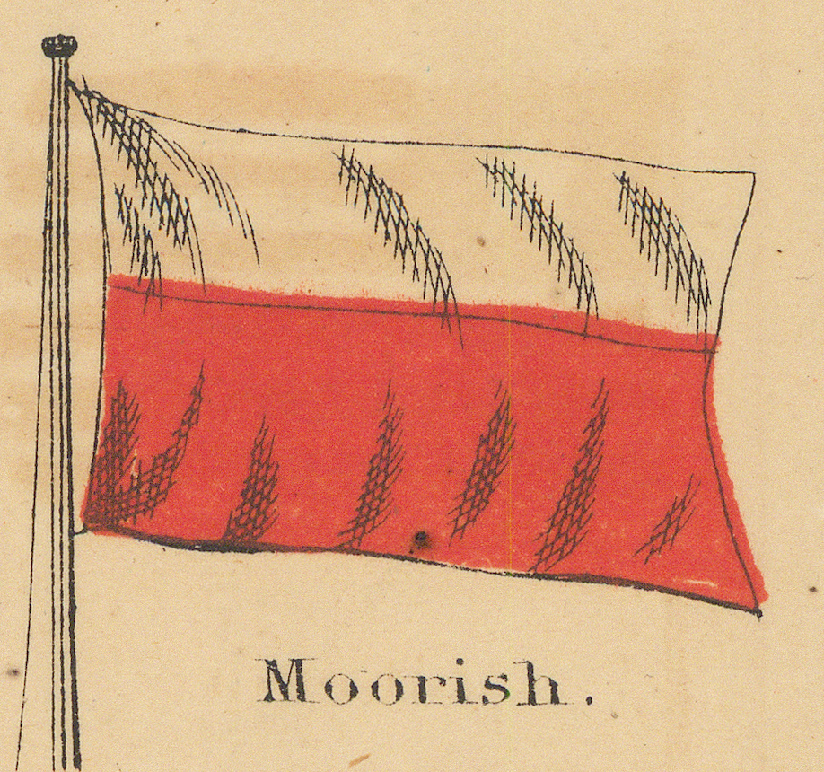
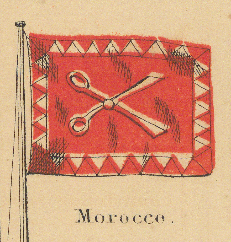
Seventh Row
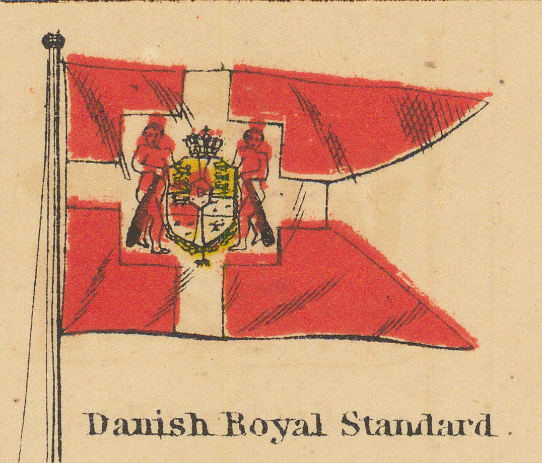
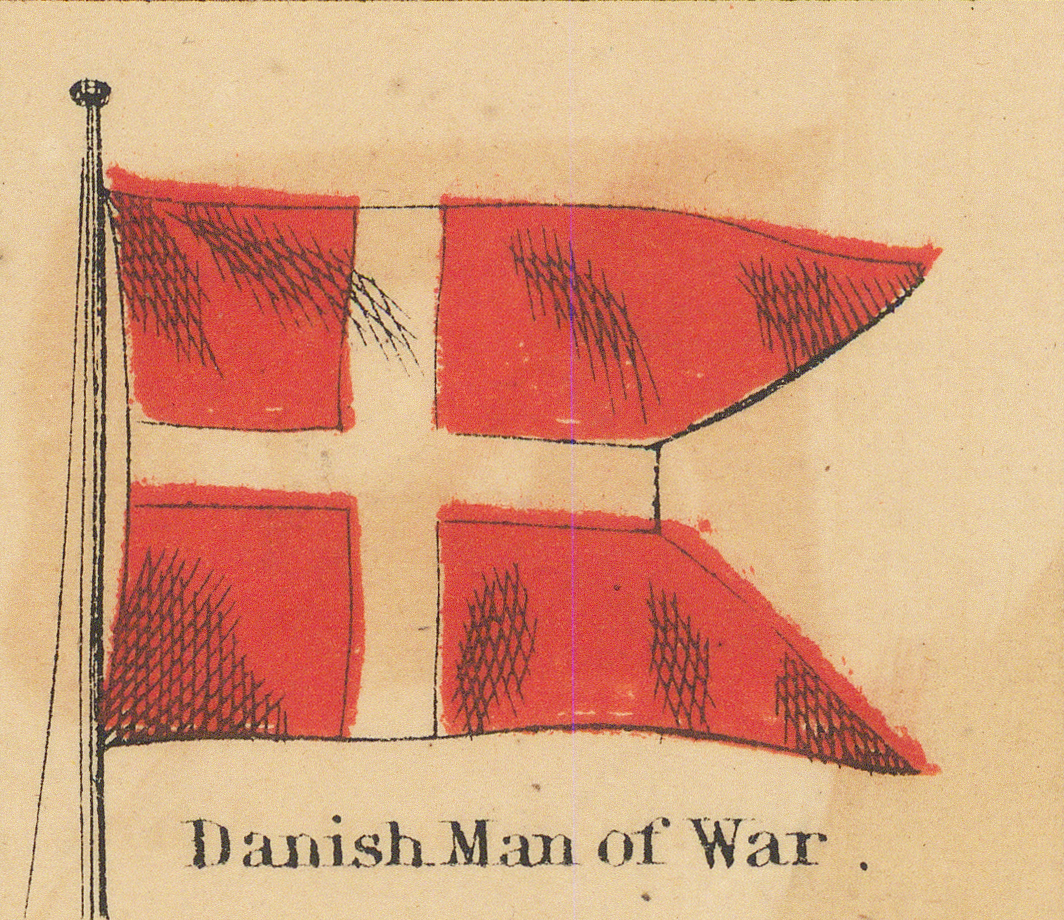
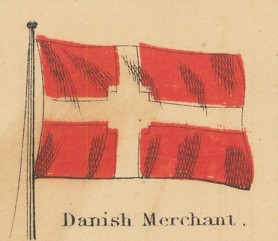
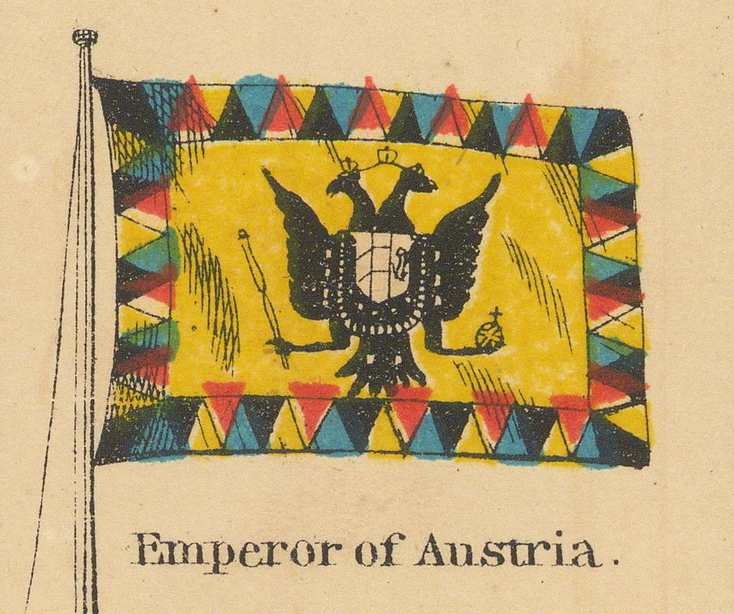
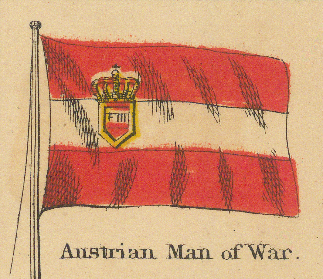
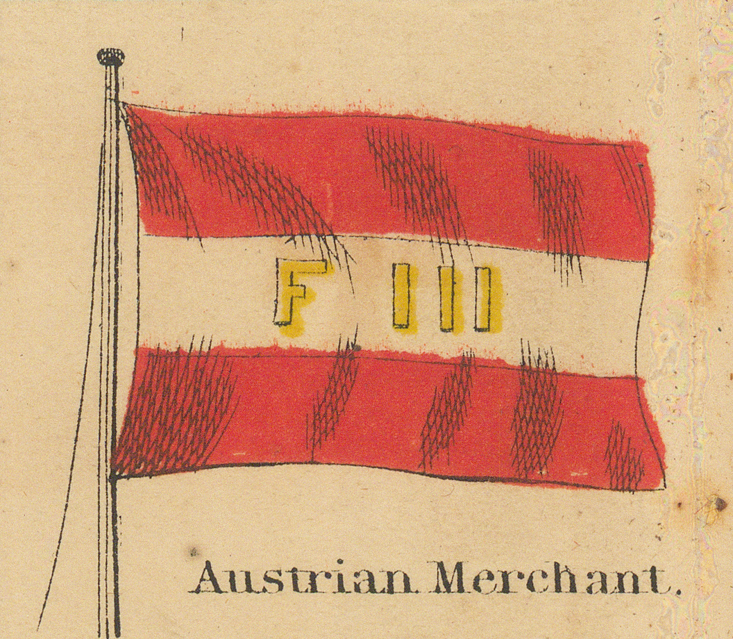
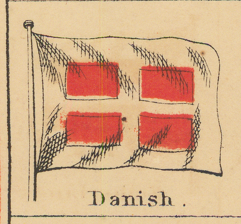
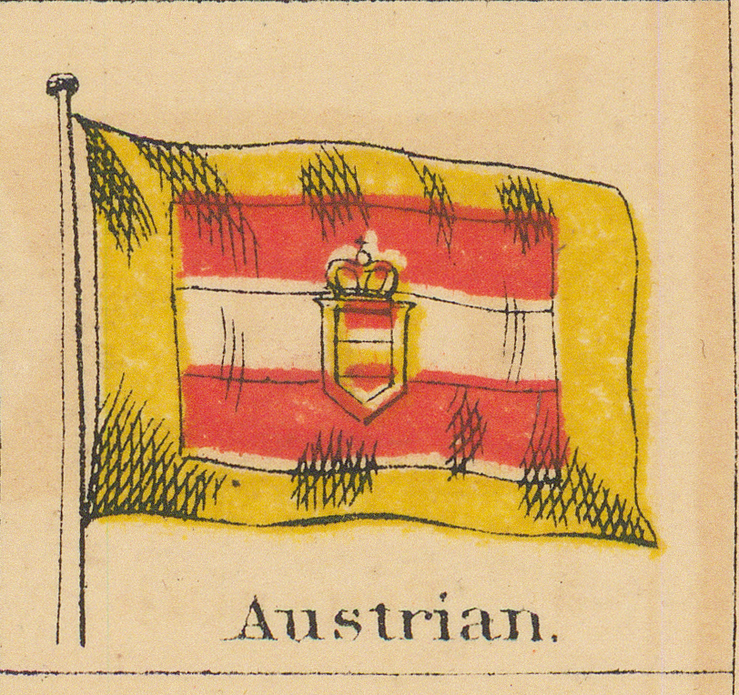
Denmark and Austria in three grades each, then the Baltic and Asia.
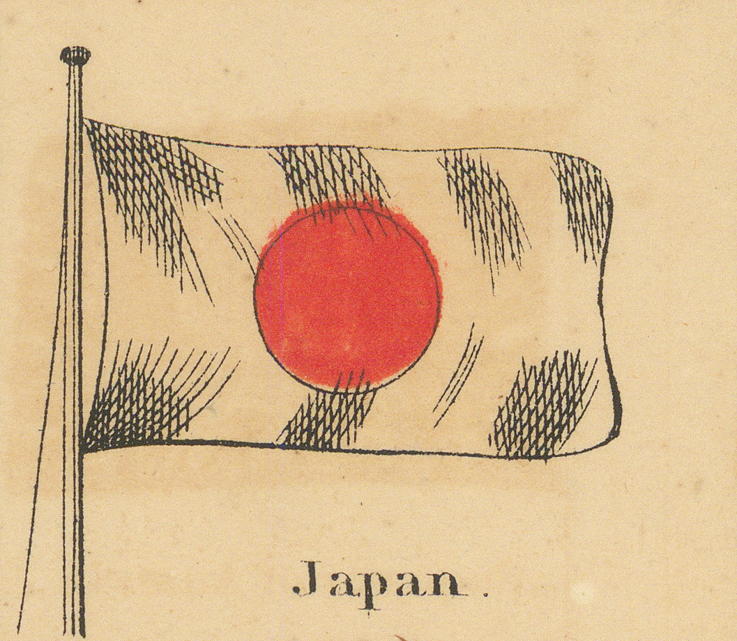
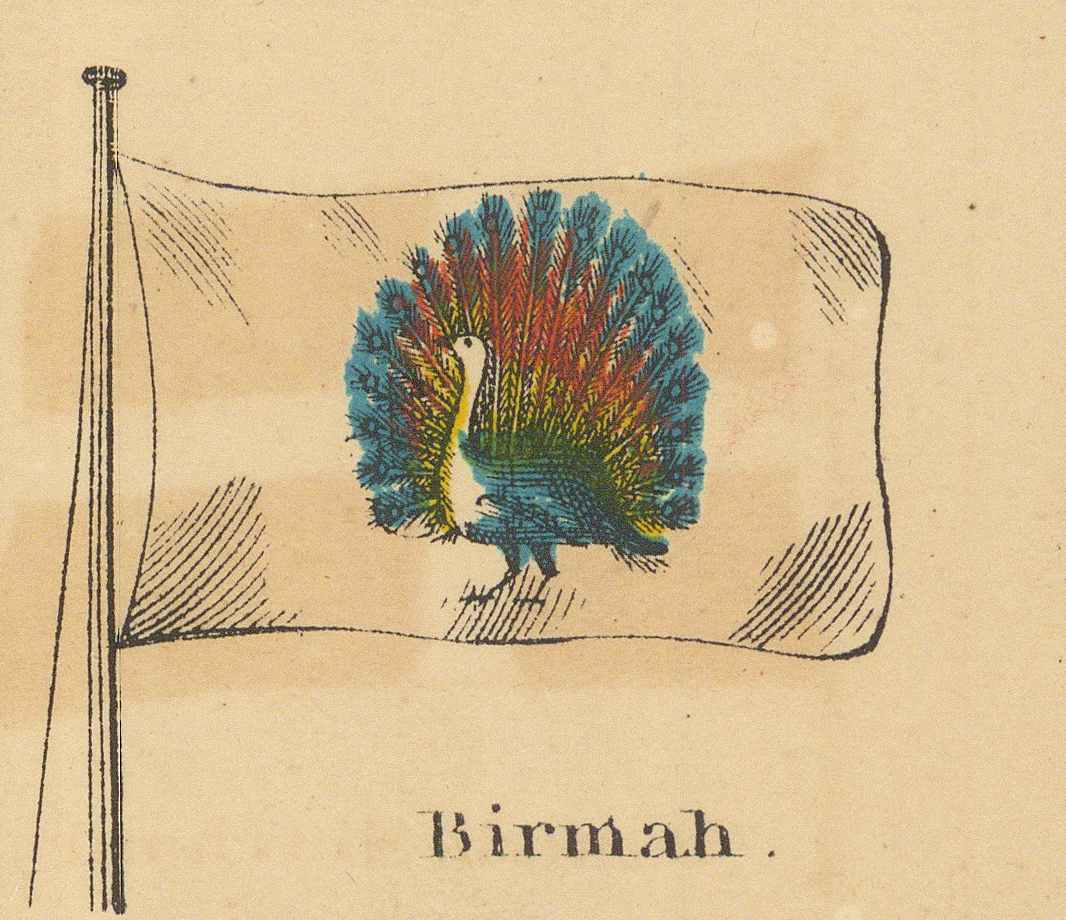
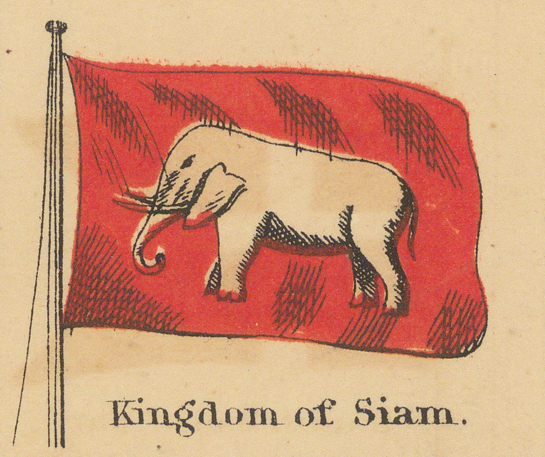

Eighth Row
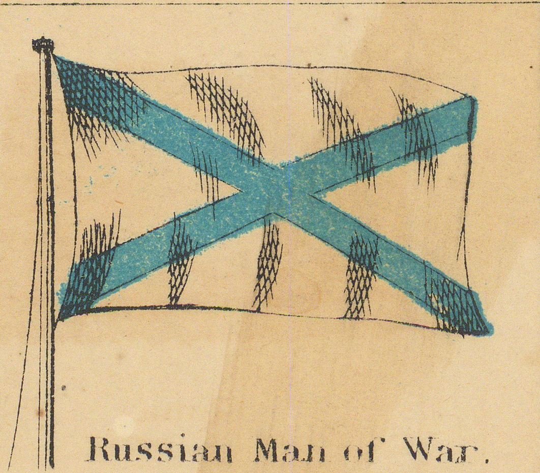
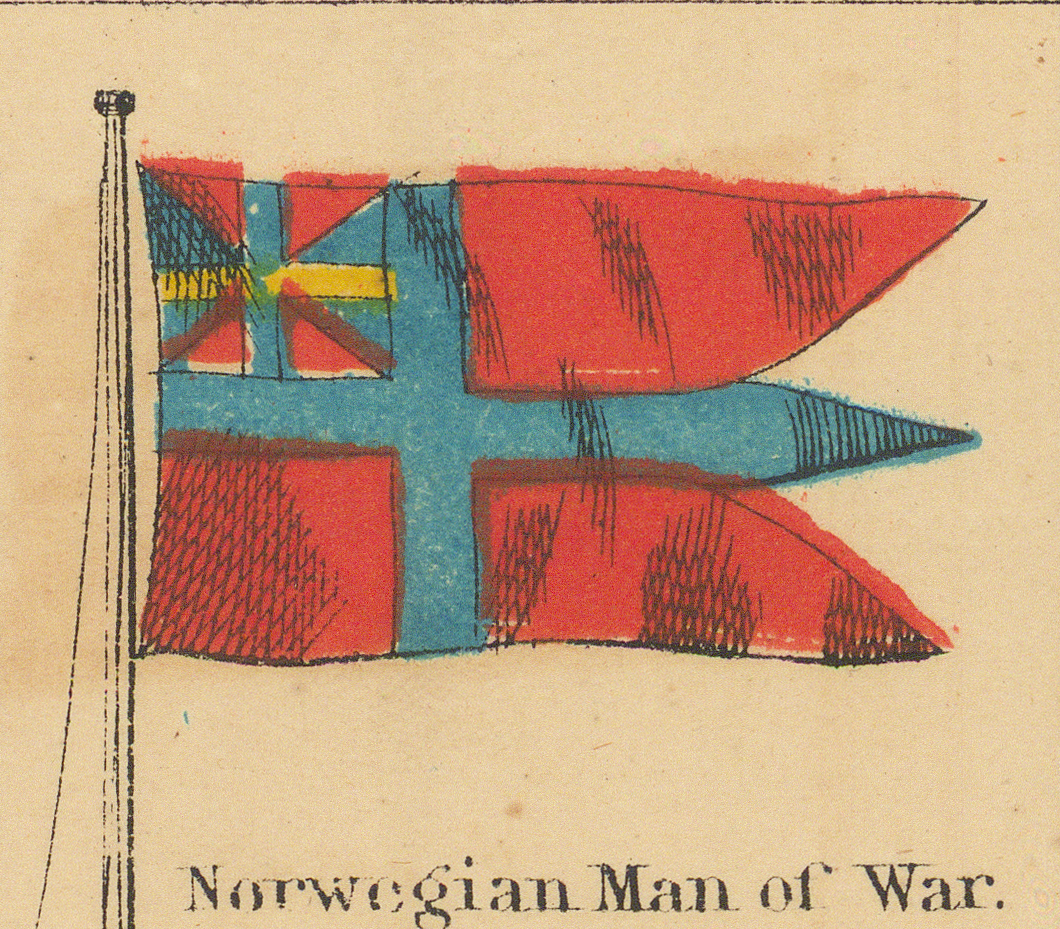
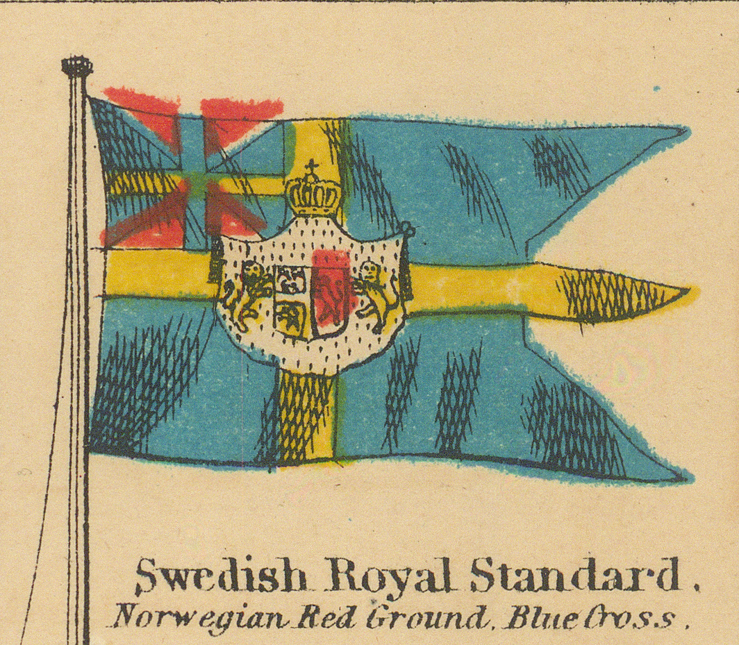
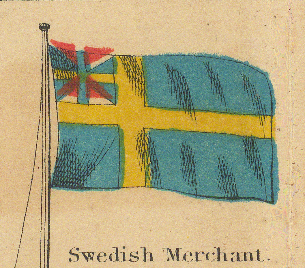
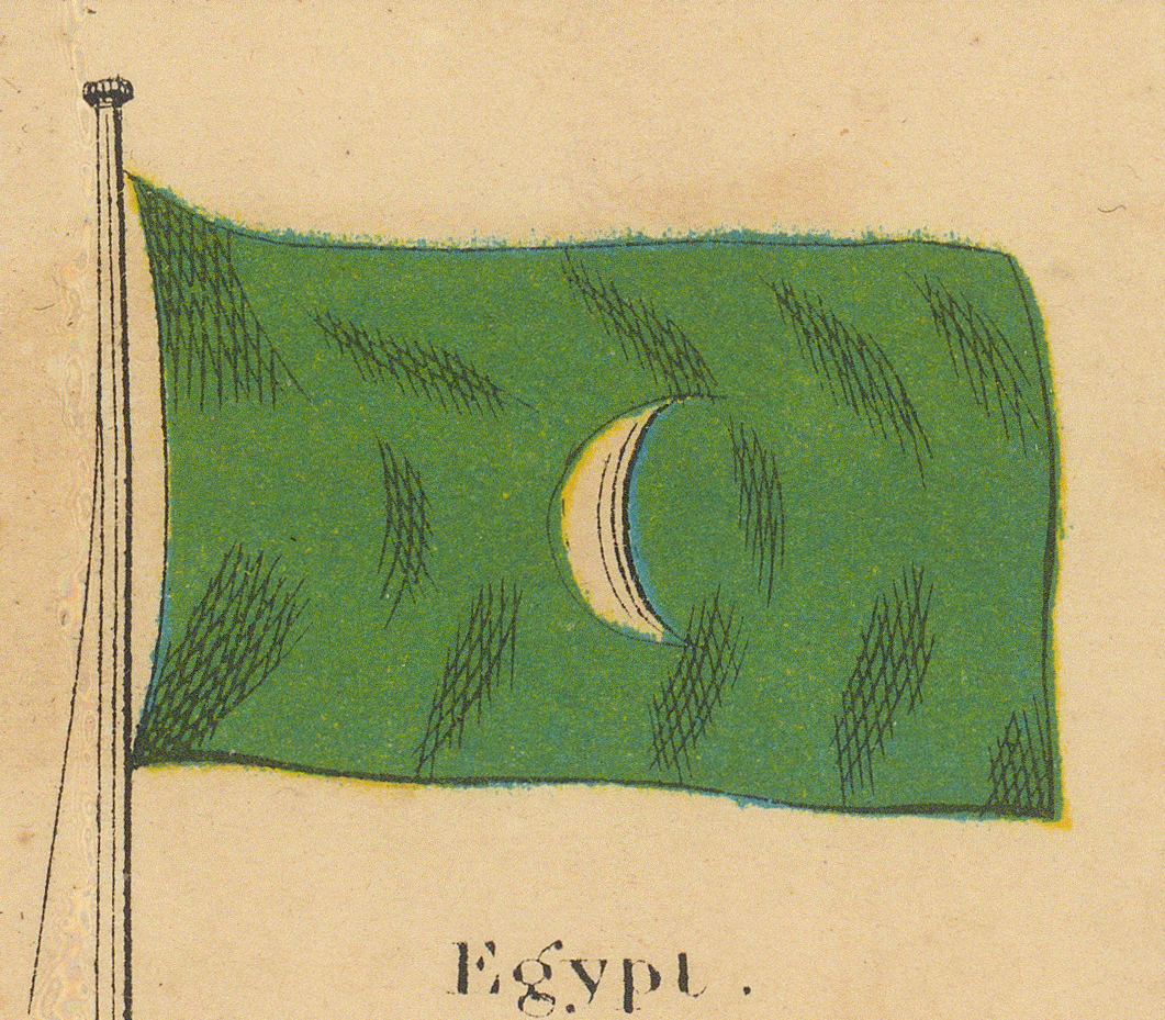
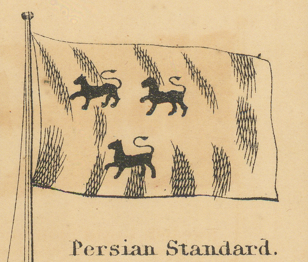
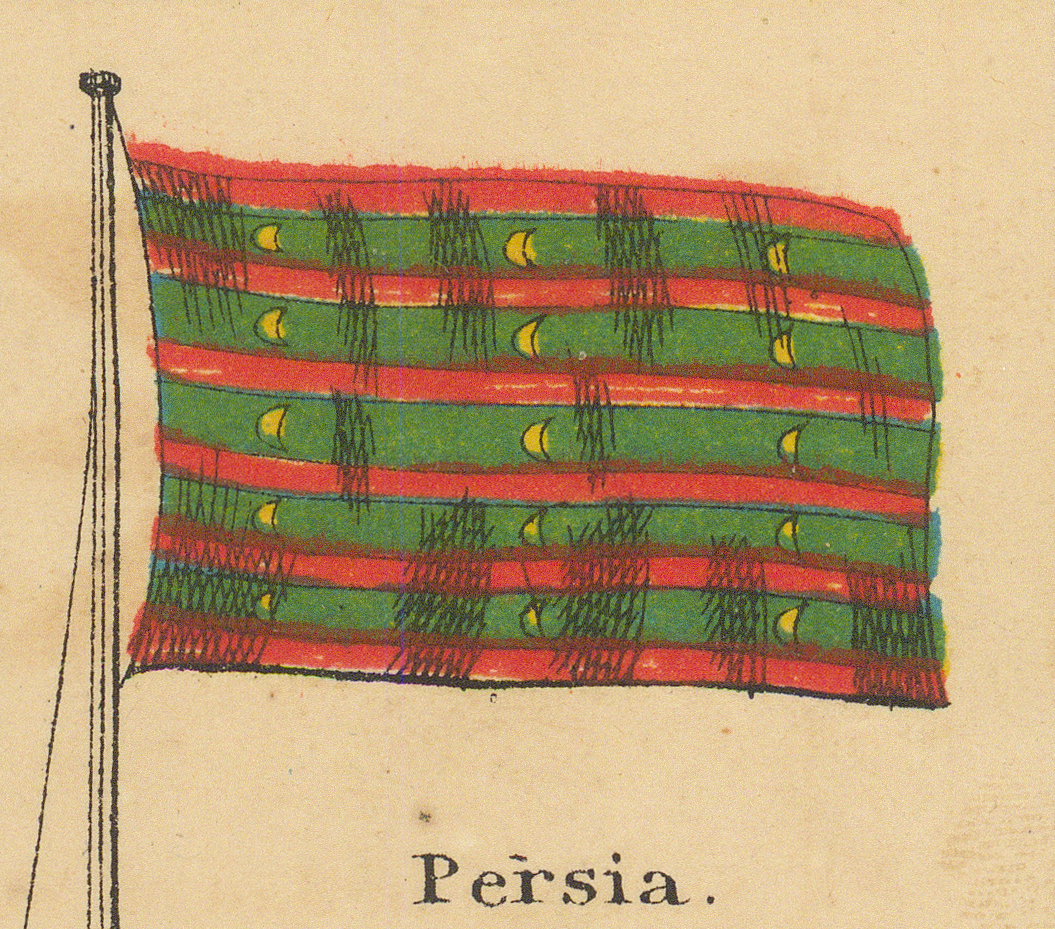
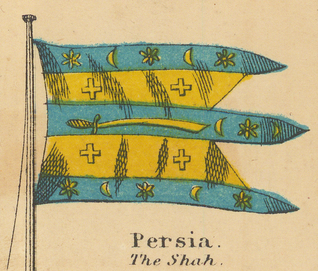
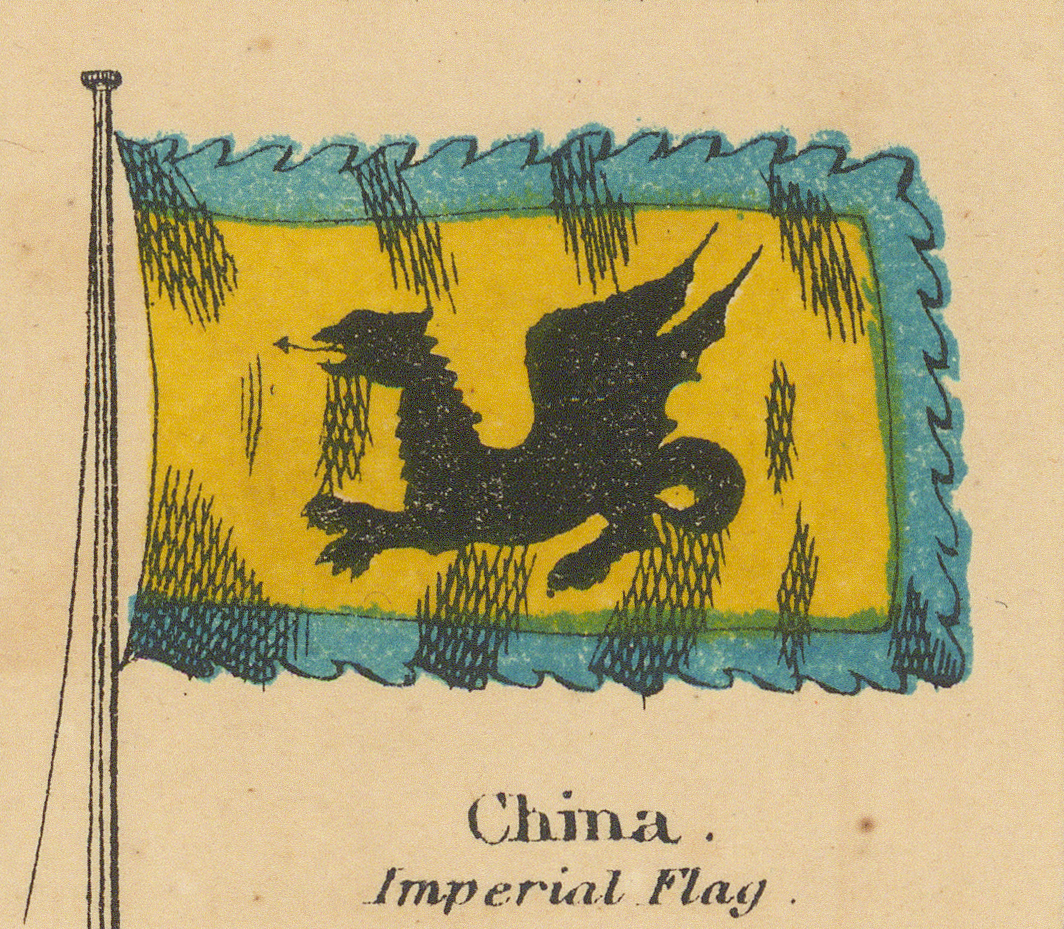
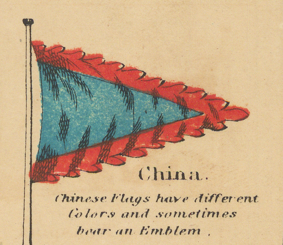
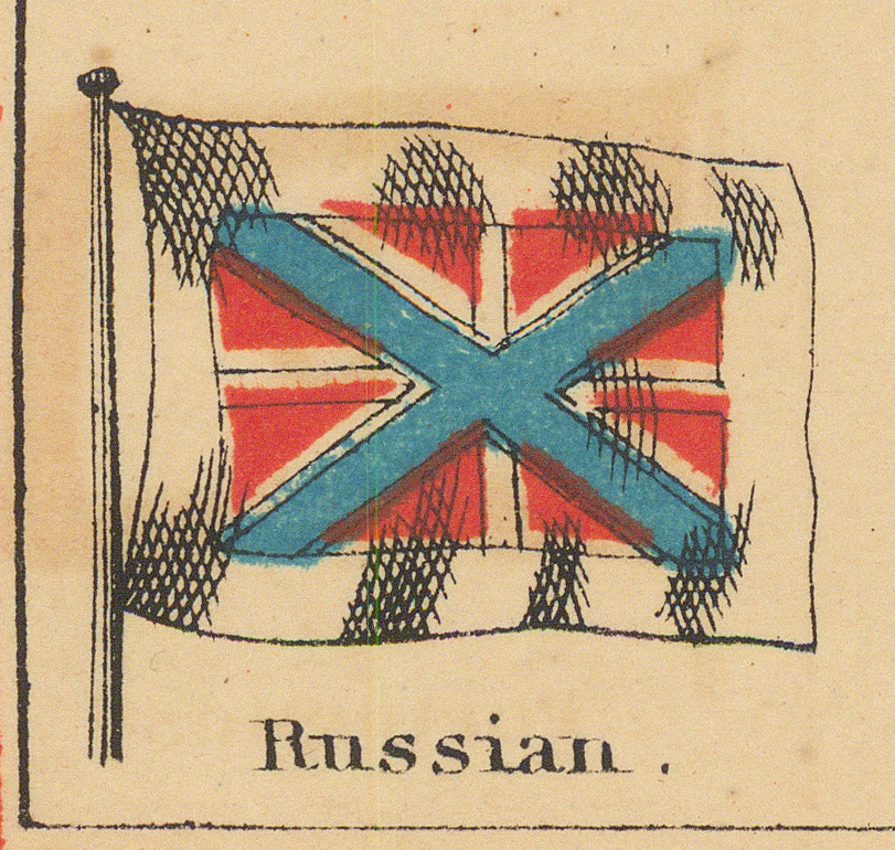
Russia and Scandinavia, then Egypt, Persia, and China.
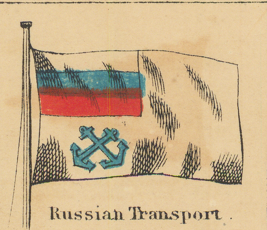
Ninth Row
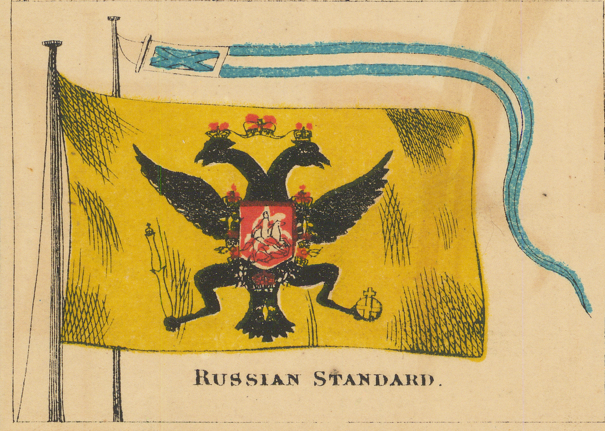
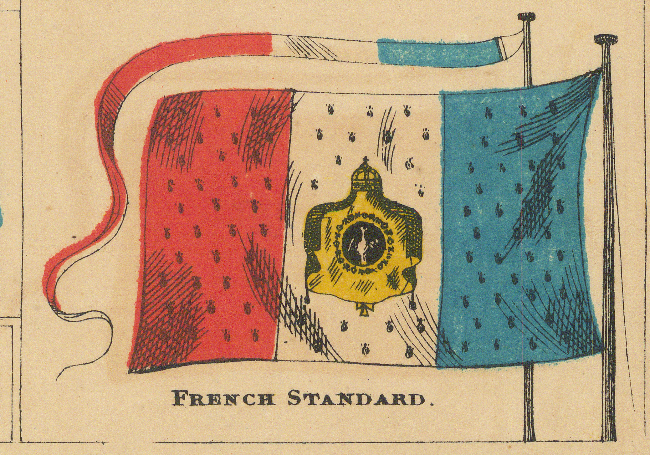
The two lower corner standards — the Russian imperial standard and the French imperial standard of Napoleon III — bracket the final row.
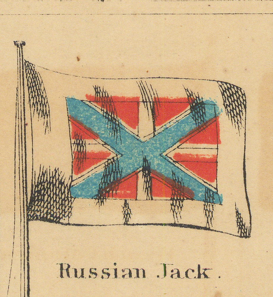
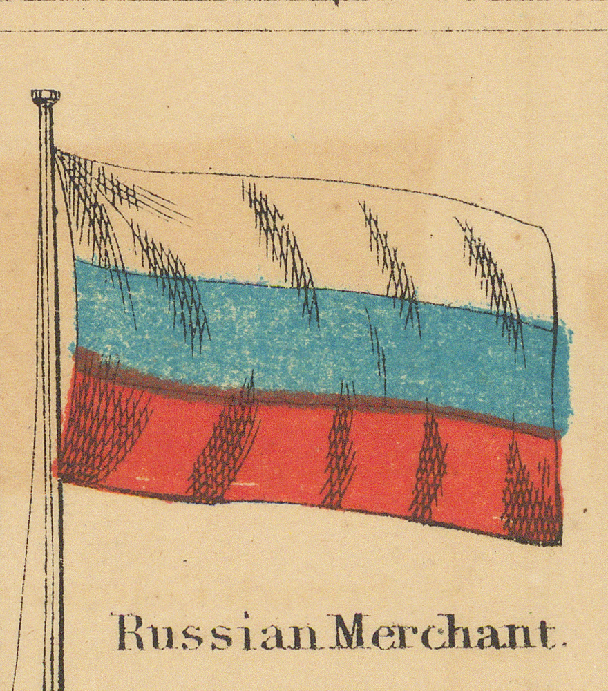
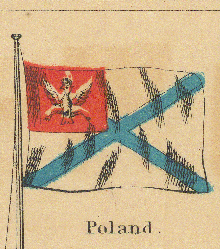
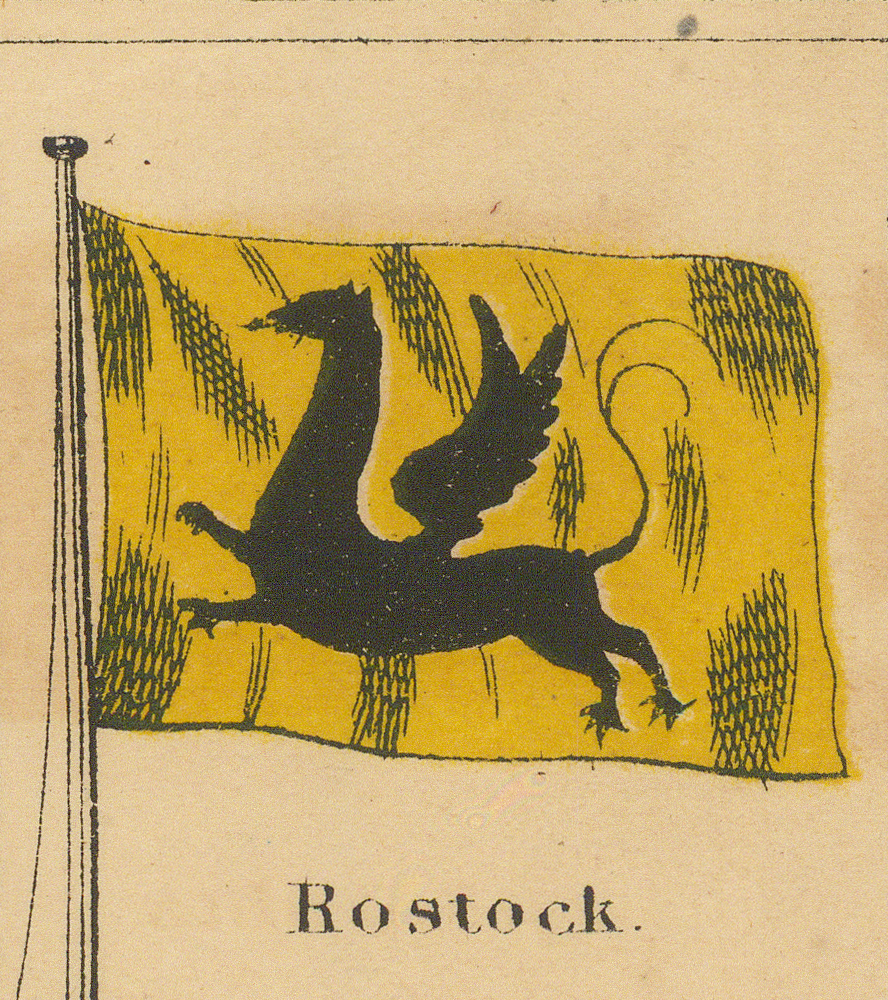
Signals for Pilots
Two boxed tables, each headed Signals for Pilots., flank the middle rows of the chart inside red borders. Each holds six flags in two columns.
The Pennants
Two long pennants stream along the foot of the sheet, winding around the engraved ribbon that carries the imprint Published by Johnson & Ward. The drawings and the ribbon are one continuous piece of engraving, so each extraction ends where the imprint begins.


Method and Next Stage
The index above records what is on the chart before interpreting any of it. Study pages can then set each depiction against documented flag history and account for differences in colour, proportion, geometry, or status.
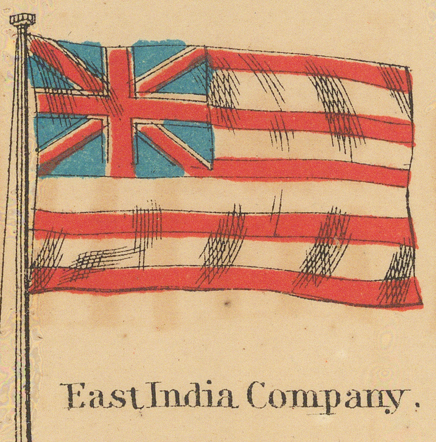
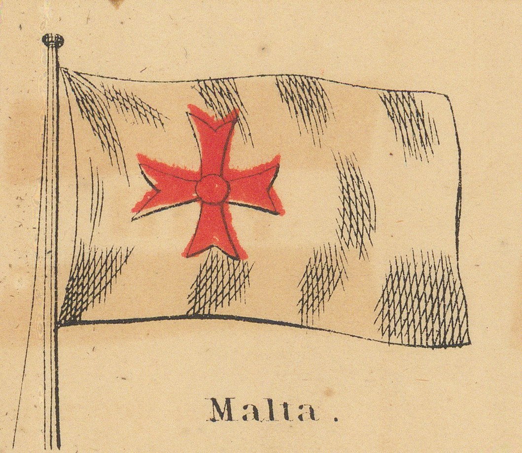
Read as a whole, the chart separates what an 1863 compiler knew from what was merely copied. The war furniture is exactly current: the 35-star canton and the months-old Confederate Stainless Banner, and with them the Russian-American Company, the Ionian Islands, and the French imperial standard. The Italian unification of 1859–1861, by contrast, is only half digested. The new Kingdom of Italy is printed among the very states it had swallowed — Sardinia, Tuscany, Sicily, Naples — while the East India Company, stripped of its rule in India in 1858, and Central America, dissolved by 1841, survive from older models. Deeper still lie the pure inventions of the chart tradition: Morocco's crossed “scissors,” the Persian lions, the Cochin China menagerie, the Malta cross, each copied from chart to chart for more than a century. With this sheet the collection's Morocco chain runs unbroken through five sources: 1720, 1769, 1837, this chart, and 1899.
Set beside the French plate Pavillons des principales puissances, the same flag world appears twice within a year or two, once from New York and once from Paris, and the comparison cuts both ways. Both sheets print the Confederate flag, one neutrally and one with an exclamation point. But where the French plate gives Hawaii an obsolete seven-stripe flag under an obsolete protectorate caption, Johnson's Hawaiian Islands panel prints the current eight-stripe flag in the documented order, correctly and with no political qualifier. That panel joins the depictions collected on the Hawaii (Sandwich Islands) polity page. The East India Company panel runs the other way: at nine stripes it agrees with the Homann sheet of c. 1720 rather than with either Paris plate, both of which draw thirteen.
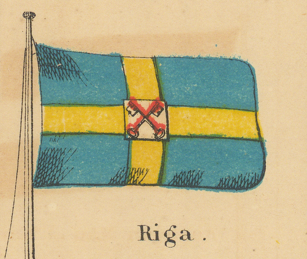
The chart's scope is telling in itself. “National emblems” here means flags seen at sea, not sovereignty. Rostock, Riga, and Konigsberg are port towns of Mecklenburg, Russia, and Prussia, printed on equal footing with kingdoms and empires, merchant practice outranking political status. The same maritime eye shows in the pilot signals, where the Russian entry is the naval jack over again, printed twice in two roles. Persia appears under three entirely different flags — the three lions, the striped field of crescents and suns, and the Shah's triple-tailed banner — which is about how far publications of the period disagreed about Persia; the c. 1899 sheet offers a fourth form of its own.
Two of the chart's designs are now followed across the collection on flag pages of their own: the East India Company ensign, present here five years after Company rule ended and varying from chart to chart since 1720, and the quartered Spanish standard, a composition several charts repeat and almost no other source records. Other candidates for individual study are ready to hand: the Confederate caption as an artefact of wartime publishing, the Poland panel printed during the January Uprising, the New Zealand panel preserving the 1834 flag of the United Tribes, and the Bolivia band order.
Bibliographic References
- Johnson's New Chart of National Emblems (Johnson & Ward, New York, copyright 1863), complete sheet in the present collection; title, captions, and imprints transcribed from the sheet.
- Pavillons des principales puissances (Armand Le Chevalier, Paris, c. 1863), catalogued in the present collection — the contemporary French counterpart.
© Encyclopaediae. Open educational reference project.